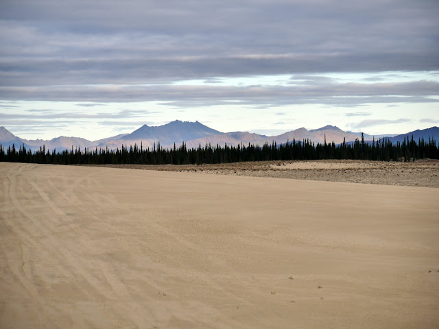
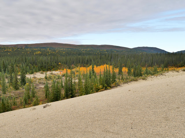
We were only on the ground for a few minutes, but the Great Kobuk Sand Dunes had us mesmerized. Landing near the southern edge of the dunes, we saw the dunes stretching out in the distance to the northwest, mountains to the north, northeast, and east, and a creek that formed the definitive end of the dunes to the south. The dunes cover about 25 square miles at an average elevation of about 250 feet. We visited Kobuk Valley National Park in late August 2022.
 |
| Waring Mountains (2102' elevation, 1850' above the dunes) |
 |
| Baird and Akiak Mountains |
 |
| Another view of the Waring Mountains 8 miles to the east |
 |
| Jade Mountains (22 miles northeast) |
 |
| A closer view of the Jade Mountains |
 |
| Tire tracks in the sand from many planes before us |
 |
| Niaktuvik Creek and the Waring Mountains |
 |
| A closer view of the creek |
 |
| Spruce and birch boreal forest below the Waring Mountains |
 |
| View upstream of Niaktuvik Creek watershed |
 |
| Edge of the dunes where forest and sand meet |
 |
| Our transport for the day |
There is no entrance fee at Kobuk Valley National Park.
The Kobuk Valley National Park website is https://www.nps.gov/kova/index.htm.

No comments:
Post a Comment