We visited Biscayne National Park in mid-February, 2013. Some of the facilities on outlying keys were still closed due to damage caused by Hurricane Sandy, but that did not affect our enjoyment of the park. Because 95% of the park is covered in water and easily accessible by boat, this is one of the few national parks without an admission fee.
Convoy Point
The Dante Fascell Visitor Center is located at Convoy Point less than 10 miles east of Homestead. It's unusual architecture is based on the Biscayne House of Refuge that was in operation from 1876 until 1926, first as part of the United States Lifesaving Service and then the US Coast Guard. The theater, bookstore, museum and concessionaire are located on the upper floor with access provided by both an elevator and a ramp. Restrooms are located on the lower level. Several video presentations are available for viewing in the theater. We watched a very informative documentary filmed just weeks after Hurricane Andrew made landfall on Elliot Key in 1992 and the excellent Biscayne National Park: A Spectrum of Life.
 |
| Dante Fascell Visitor Center |
We only saw one manatee on our entire trip and that was from a distance. Most activities at the park require being on or in the water. Kayaks can be rented from the concessionaire and they seemed to be very popular. Immediately south of the park is the Turkey Point Generating Station owned by Florida Power & Light. The station consists of two oil/gas units, two nuclear units, and a combined-cycle gas combustion turbine. Construction and license permits have been issued for two additional nuclear units. The station has altered its operation over the years in order to protect the environment. Instead of dumping waste heat into the bay and disrupting the ecological system, a series of canals have been created that allow the heat to dissipate into the atmosphere. This has also created an ideal environment for the American crocodile. Since the first census was conducted several years ago, over 3,000 crocodiles have been tagged on the site and approximately 800 are current residents.
 |
| Manatee in the marina |
 |
| Kayaks on the bay |
 |
| Turkey Point Generating Station |
A quarter-mile boardwalk and trail leads from the visitor center to the end of the jetty adjacent to the harbor channel. A Gumbo Limbo tree is located just off the beginning of the trail. It is often jokingly called the Tourist Tree because of its red, peeling bark. The trail starts as a concrete sidewalk, but quickly turns into a bridge along the edge of the bay before turning into a conventional boardwalk and then a gravel path. At the end of the jetty, visitors can view several varieties of birds that have colonized the narrow strip of almost-land that was created when the channel was dredged.
 |
| Gumbo Limbo tree |
 |
| Boardwalk across the bay |
 |
| Boardwalk on the jetty |
 |
| Gravel path on the jetty |
 |
| Colonial bird protected area adjacent to channel |
 |
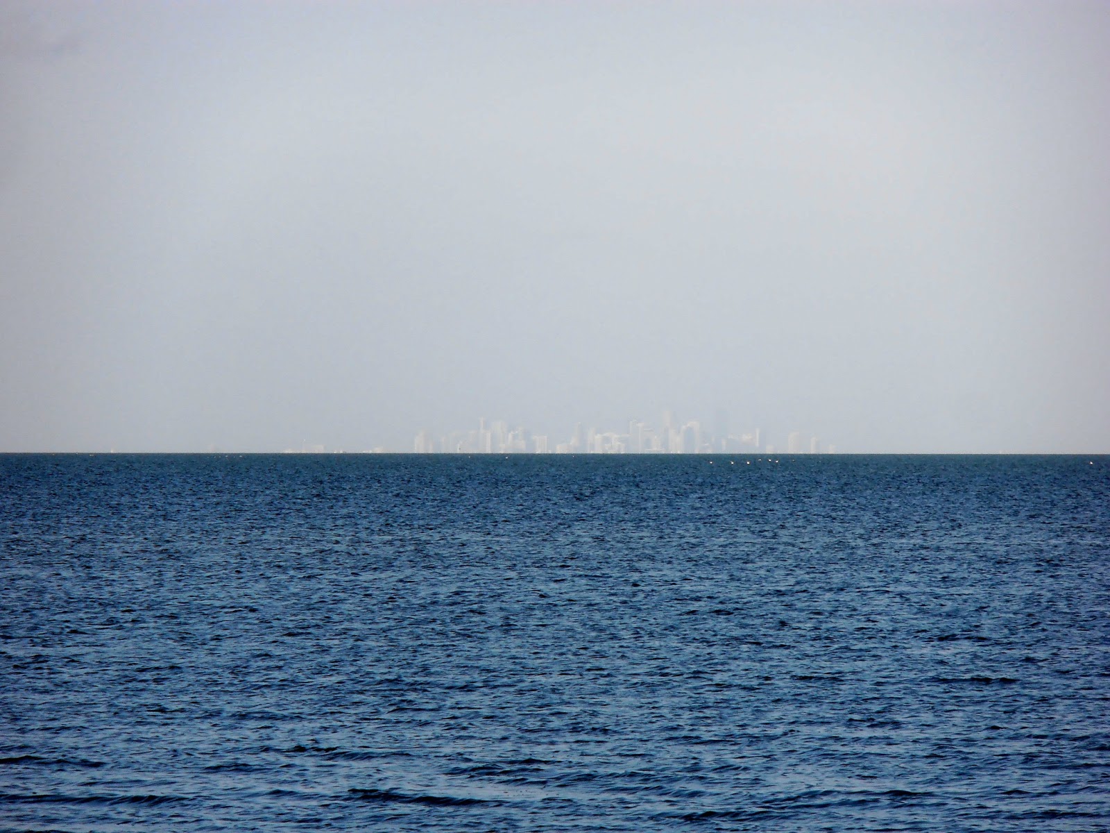
| Twenty-three miles to the Miami skyline |
 |
| Boardwalk along the calm waters of Biscayne Bay |
 |
| Rear porches of the Dante Fascell Visitor Center |
Boca Chita Key
The park concessionaire provides several excursions including daily boat trips to Boca Chita Key. Tickets for the Boca Chita Lighthouse Adventure are $35.00 per person and may be purchased online or at the gift shop in the visitor center complex. After boarding the boat at the visitor center marina and listening to the safety briefing, we proceeded slowly through the no-wake zone before entering the open water of the bay. The boat has all the required USCG equipment for a commercial passenger vessel including a pair of self-inflating rafts on the roof. However, it is unlikely they would deploy if the boat sank as they are about 12 feet above the keel and the depth of the bay averages seven to ten feet. There are places where the depth is approximately 15 feet, but the first rule of survival in case the boat sank was just to stand up! The actual reason to stand up was that many of the personal flotation devices were stored in the center seats and the rest were stored under the overhead. None of them could be reached while we were seated.
 |
| The Boca Chita |
 |
| A pair of Royal Terns |
 |
| Brown Pelican |
Thirty-five acre Boca Chita Key was privately owned by industrialist Mark Honeywell from 1937 to 1945. He had the lighthouse, chapel, house and barn built. Only the foundation is left of the house. The lighthouse is on the wrong side of the island to be a useful navigational aid and there are shallow reefs several miles east of the key that would still be dangerous even with a properly located lighthouse. There is a picnic area and restrooms with saltwater toilets and no sinks on the northern end of the key. The southern half of the key was not developed by Honeywell and contains a ½ mile trail that loops from near the restrooms back to the harbor.
 |
| The never-operated Boca Chita Lighthouse |
 |
| Seagrass meadow |
 |
| Boca Chita harbor |
 |
| Miami skyline 17 miles away |
 |
Key Biscayne (left 11½ miles), Cape Florida Lighthouse ( white column 10 miles),
and Miami Beach (right 17 miles) |
 |
| Chapel |
 |
| Palm bent by Hurricane Andrew, but not defeated |
 |
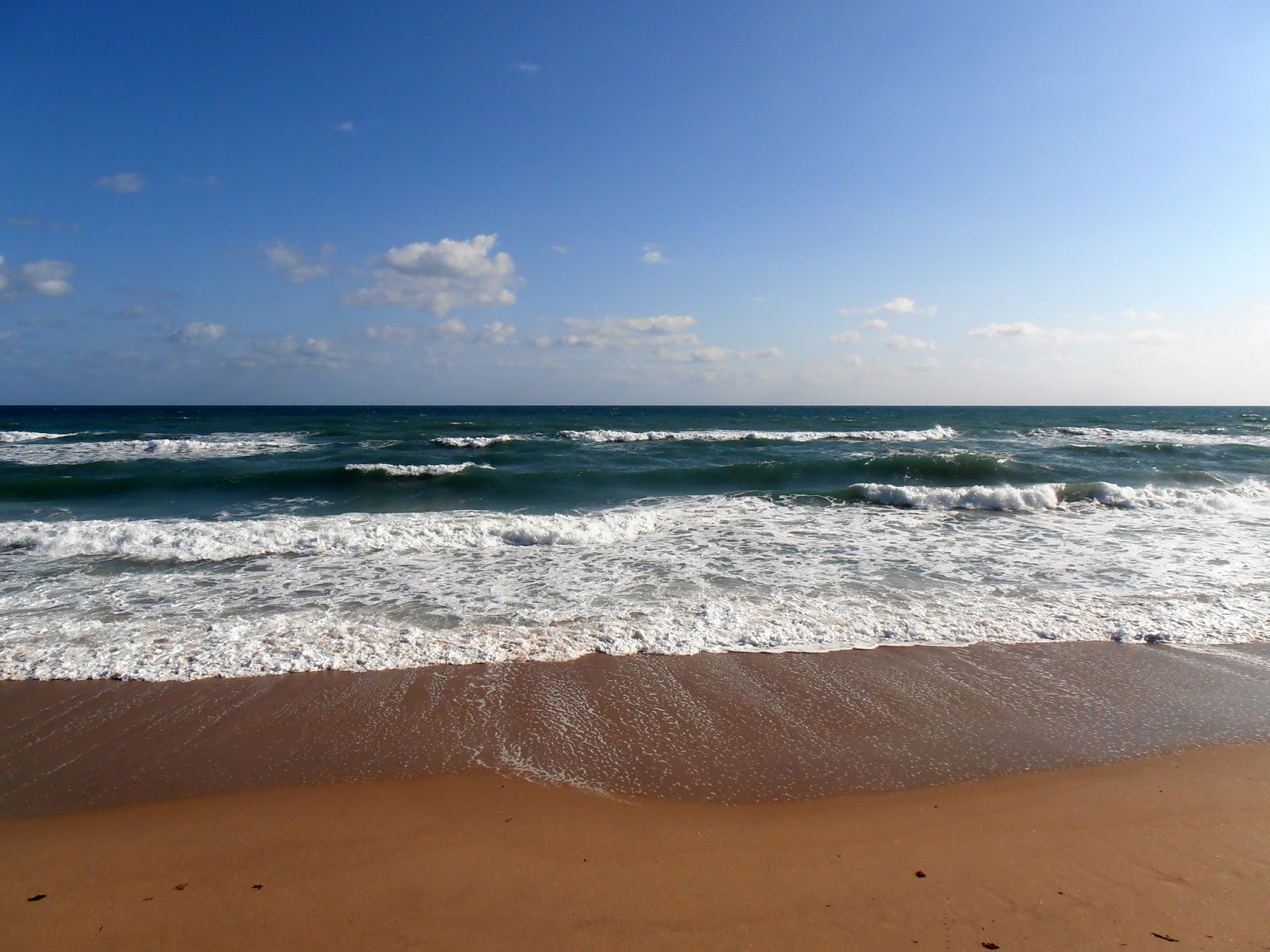
| Clear Atlantic waters |
 |
| The foundation is all that is left of the Honeywell house |
 |
| Beginning of trail around south end of the key |
 |
| Coquina outcrop |
 |
| Sands Key across Lewis Cut |
 |
| Return trail on west side of key |
 |
| Red Mangroves |
 |
Ornamental lighthouse from the trail
(Key Biscayne is visible behind the left palm tree) |
We had a great day at the park and need to plan another visit to explore more of it.
The concessionaire website is http://www.biscayneunderwater.com.
The park website is http://www.nps.gov/bisc/index.htm.