At 100 feet, Ramsey Cascades is the tallest waterfall in Great Smoky Mountains National Park. It is located at the end of the aptly named Ramsey Cascades Trail in the Greenbrier section of the park. To reach the trailhead from the intersection of US 441 and US 321 at traffic light number 3 in Gatlinburg, drive east on US 321 (highway north) for six miles. Turn right onto Greenbrier Road at the park entrance sign. Drive 3.1 miles as the asphalt gives way to gravel and narrows to one-lane for a short distance. Turn left onto Ramsey Prong Road and drive 1.5 miles to the end of the road. Although this is a popular hiking trail, parking is only available for about twenty vehicles. The parking area fills up quickly, so plan to come early or park down the road.
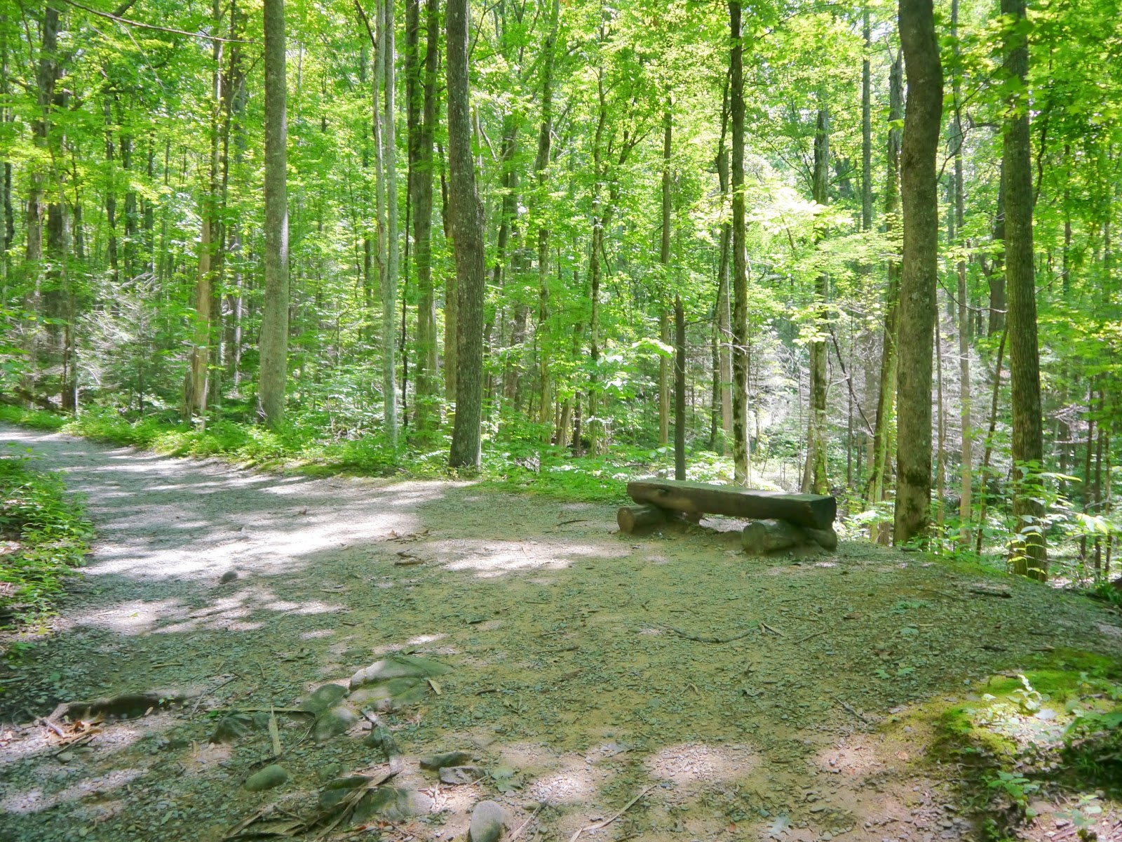
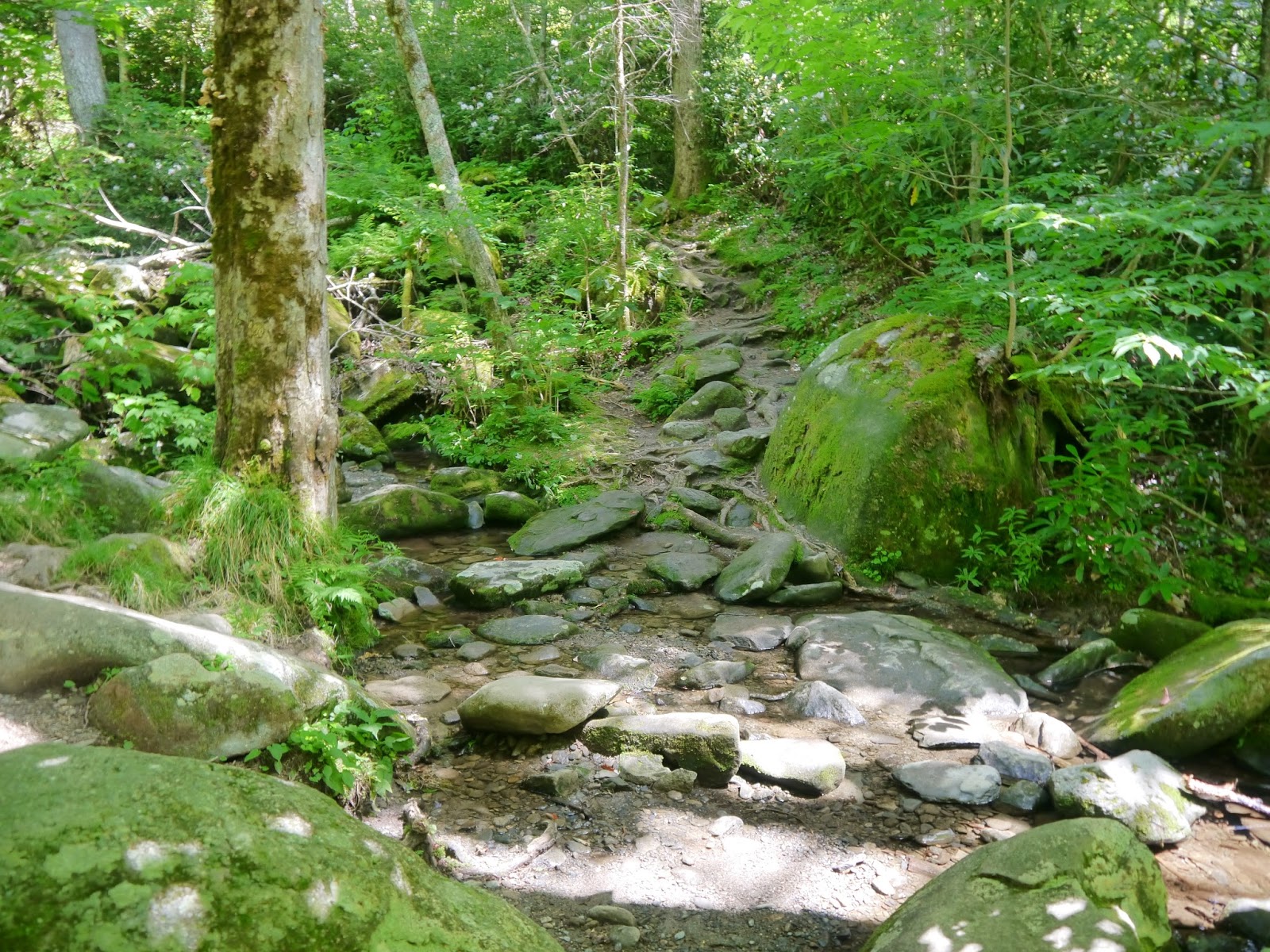
The four-mile one-way hike is considered strenuous by the park service as it gains over 2,000 feet in elevation. The first 1.5 miles of the route follows an old rock and gravel roadbed and has two sturdy bridges. Once the route transitions to a trail, there are two footbridges to cross with the first one being one of the longest (about 70 feet) and highest (20 feet above the creek) in the park. After crossing the second footbridge, the last mile of the trail has considerably more roots and stone steps to climb than the lower section. While the trail generally follows Middle Prong Little Pigeon River and then Ramsey Prong upstream, the streams are often hidden from view by the dense vegetation. Since the area along Ramsey Prong was never commercially logged, there are some very large specimens of several tree species visible from the trail.
I hiked to the falls on a weekday in mid-July 2016 and met over 40 people on the trail including one family with small children.
Topographic map with GPS route
Elevation Profile
Parking area at end of road
Trailhead
First bridge is over Middle Prong Little Pigeon River
Middle Prong from the bridge
The trail follows an old gravel road for the first 1.5 miles
Blowdowns create openings in the forest canopy
The forest begins to fill many years after these trees fell