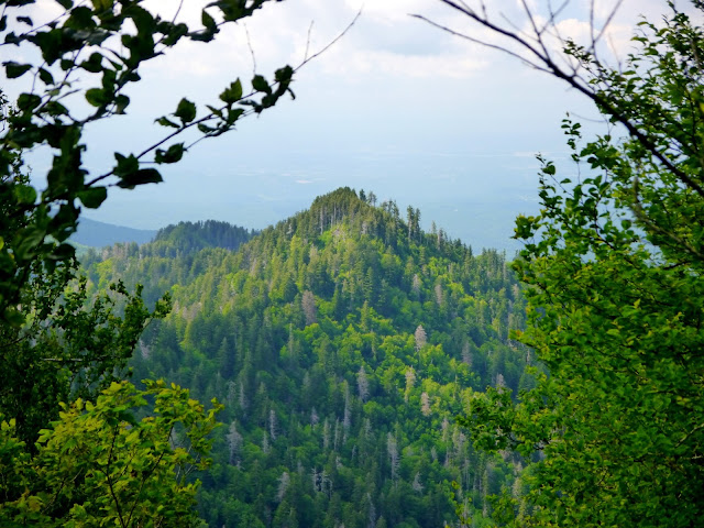
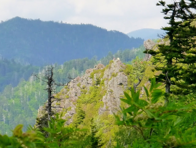
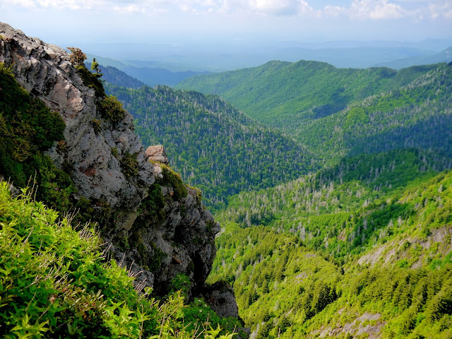
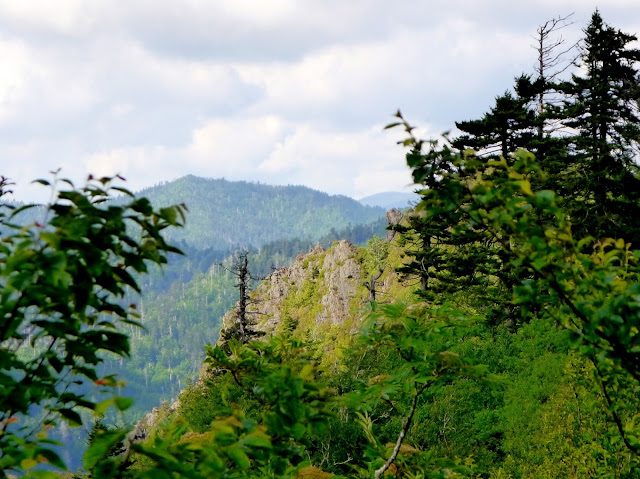
The eight mile round-trip hike from Newfound Gap to Charlies Bunion along the Appalachian Trail is one of the more popular summer hikes in Great Smoky Mountains National Park. While the route climbs over 1,000 feet and then descends nearly 600 feet to reach the rocky outcrop, the spectacular views are worth the effort. With the entire route above 5,000 feet, the temperature is usually 10 to 15 degrees Fahrenheit cooler than Gatlinburg. While I hiked the trail on a weekday afternoon in late June 2016, I met dozens of people along the route. On the way to Charlies Bunion, I visited with a retired couple who now volunteer as trail maintainers. Their work to keep the vegetation cut back from the trail is greatly appreciated. While there were a few hikers on the outcrop when I arrived, they all departed within about 20 minutes and left me with an opportunity to enjoy the solitude I seek in the mountains.
This is considered a strenuous hike. Make sure you have sufficient water and food to spend an entire day on the trail. Storms can quickly develop in the mountains, leaving the trail muddy and the rocky outcrop slick.
I wrote about a previous hike to Charlies Bunion here.
 |
| Topographic map with GPS route |
 |
| Elevation profile |
 |
| Trail sign doesn't mention Charlies Bunion |
 |
| First opening in the forest provides... |
 |
| ...this view of Beech Flats Prong watershed in North Carolina |
 |
| Another view of the North Carolina mountains |
 |
| Lots of rocks and roots on the trail |
 |
| Tree roots utilized as steps |
 |
| View from the second overlook |
 |
| Sweat Heifer Creek Trail junction - AT continues straight |
 |
| Ridgetop trail |
 |
| Newfound Gap Road from the third overlook |
 |
| Path over and through sedimentary rock |
 |
| Trail levels out atop Mt Ambler |
 |
| The Boulevard Trail junction - AT turns to the right |
 |
| Icewater Spring |
 |
| Tennessee ridges from the trail |
 |
| Horseshoe Mountain |
 |
| Hikers atop Charlies Bunion |
 |
| View northeast toward Douglas Lake |
 |
| Single-track approaching Masa Knob |
 |
| Late Catawba Rhododendron (Rhododendron catawbiense) blossom |
 |
| Mount Le Conte to the west northwest |
 |
| Spur trail to Charlies Bunion - AT turns right |
 |
| Northbound AT at spur trail |
 |
| Charlies Bunion above the single-track |
 |
| Looking back up the trail from Charlies Bunion |
 |
| Mount Kephart |
 |
| Mount Le Conte |
 |
| View northwest |
 |
| Lester Prong watershed |
 |
| The Sawteeth |
 |
| The trail continues around the outcrop |
Entry to Great Smoky Mountains National Park is free.
The park website is https://www.nps.gov/grsm/index.htm.
The Appalachian National Scenic Trail website is https://www.nps.gov/appa/index.htm.
The Appalachian Trail Conservancy website is http://www.appalachiantrail.org/.

No comments:
Post a Comment