In mid-August 2022, we looked for a cooler hike in Great Smoky Mountains National Park. We found it at Clingmans Dome on the Tennessee-North Carolina border. We drove up the Newfound Gap Road (US 441) from the Sugarlands Visitor Center in Gatlinburg, Tennessee to the state line at Newfound Gap and then drove just a bit farther to the seven-mile Clingmans Dome Road and followed it to its end in a large, but often full parking lot. The parking lot has over 140 passenger-vehicle spaces including six handicap-accessible spaces. There is no parking for motor homes, trailers, or other oversized vehicles.
After finding a place to park, we walked to the trailhead at the west end of the parking lot. This was the only level part of the hike. Upon reaching the trailhead, the paved trail ascends at about a 10% grade. At the summit, a curving ramp leads to a tower that provides an elevated overlook. Unfortunately for us, the tower was mostly in the clouds when we visited. However, we had some good views from the trail.
 |
| Ben Morton Overlook on Newfound Gap Road |
 |
| View from Newfound Gap Overlook |
 |
| Another view from the gap |
 |
| View from the Clingmans Dome parking lot toward Fontana Lake |
 |
| View from the trail as the clouds roll in |
 |
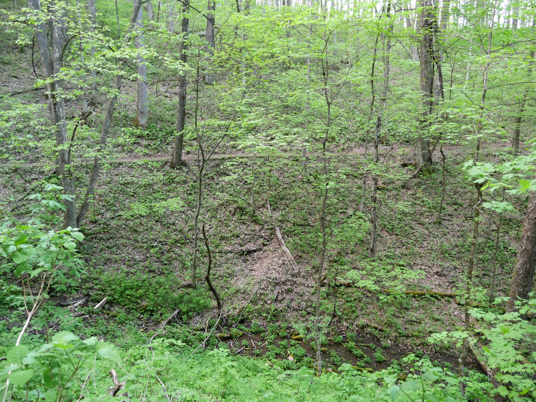
| Typical trail conditions |
 |
| Clingmans Dome Tower |
 |
Very limited visibility from the tower
|
 |
| View just three minutes later |
 |
| Clouds begin to obscure this view from the parking lot |
 |
| View from Collins Gap pullout on Clingmans Dome Road |
 |
| View from another pullout on Clingmans Dome Road |
 |
| View from the Luftee Overlook on Newfound Gap Road |
There is no entrance fee at Great Smoky Mountains National Park. However, a parking fee will be levied beginning March 1, 2023. The fee will be $5 for a daily tag, $15 for a seven-day tag, and $40 for an annual tag.