
In early May 2019, we resumed our short-segment hiking of the Appalachian Trail. On this day, we would hike the 5.4-mile distance from the summit of Max Patch to Lemon Gap. The entire route is in North Carolina except for Lemon Gap itself being on the Tennessee-North Carolina border. The trail descends 1079 feet (4629' at Max Patch to 3550' at Lemon Gap) yielding an easy downgrade of less than 4%.
 |
| Topographic map with GPS route |
 |
| Elevation profile |
 |
| View from the summit of Max Patch |
 |
| Another view from the summit |
 |
| One more view from the summit |
 |
| Trail junction to Max Patch parking lot ½ mile left |
 |
| Entering the woods |
 |
| Crossing a drainage |
 |
| Typical trail conditions |
 |
| The fence is obviously meant to keep hikers out of the spring |
 |
| Looking back at Max Patch |
 |
| Yellow Trillium (Trillium luteum) |
 |
| Junction with the Buckeye Ridge Trail |
 |
| The "Green Tunnel" isn't quite green yet |
 |
| Re-entering the green tunnel |
 |
| This stile keeps horses on the bridle trail and off the AT |
 |
| Crossing the horse trail |
 |
| Another stile completes the exclusion |
 |
| Stream crossing |
 |
| The stream formed a second route across the trail... |
 |
| ...and muddied the trail beyond |
 |
| Painted Trillium (Trillium undulatum) |
 |
| Switchback stairs and another hiker |
 |
| Wake Robin or Red Trillium (Trillium erectum) |
 |
| Side path to the Roaring Fork Shelter |
 |
| White Trillium (Trillium grandiflorum) |
 |
| A White Trillium fading to pink |
 |
| Open forest |
 |
| A trillium covered hillside |
 |
| Back in the Green Tunnel |
 |
| Crossing another stream |
 |
| A pretty, little stream |
 |
| Timber stairs |
 |
| A stream crossing worthy of log bridge #1 |
 |
| Yes, this is the trail |
 |
| Sidehill climbing |
 |
| A switchback on the trail |
 |
| One of the noisiest streams we've encountered today |
 |
| Log bridge #2 |
 |
| Switchback after crossing a stream |
 |
| Rock hopping |
 |
| Sit and rest a spell |
 |
| Another trillium explosion of color |
 |
| I wonder why the bark was sanded off for this double blaze |
 |
| One more stream crossing |
 |
| Waterbar-style stream crossing |
 |
| More trillium |
 |
| Rock hopping crossing |
 |
| A tangle of roots |
 |
| A stepover crossing |
 |
| Climbing away from the stream |
 |
| Bowman's Root (Porteranthus trifoliatus) |
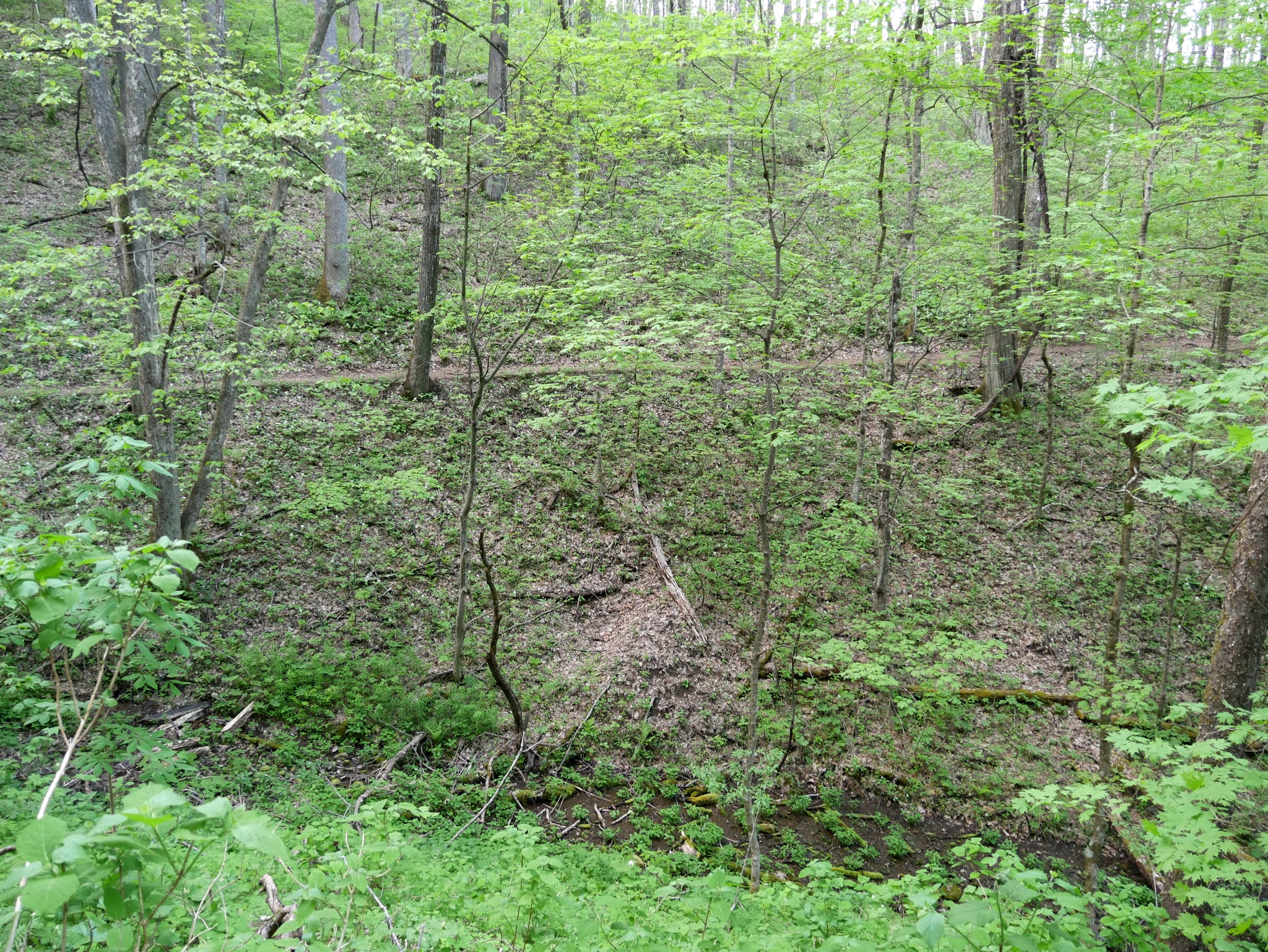 |
| The AT on the opposite side of a ravine |
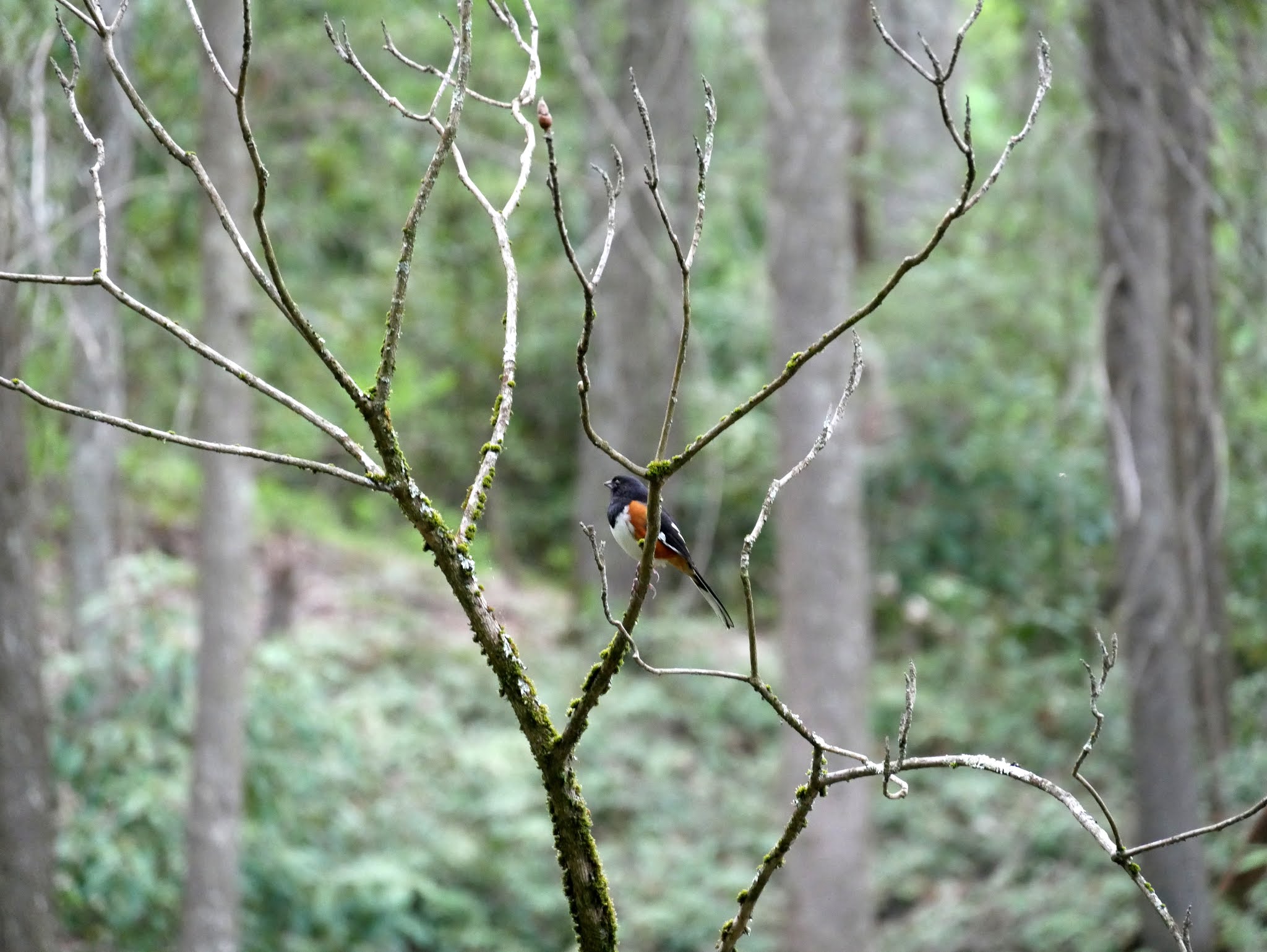 |
| Eastern Towhee (Pipilo erythrophthalmus) |
 |
| Log bridge #3 |
 |
| Log bridge #4 |
 |
| Log bridge #5 |
 |
| Timber and rock stairs mark another stream crossing |
 |
| Typical sidehill trail |
 |
| The end is in sight |
 |
| Lemon Gap |
Entry to Pisgah National Forest is free.
The North Carolina National Forests webpage is https://www.fs.usda.gov/main/nfsnc/home.
The Appalachian National Scenic Trail website is https://www.nps.gov/appa/index.htm.
The Appalachian Trail Conservancy website is https://appalachiantrail.org/.
No comments:
Post a Comment