We continued our late April 2019 visit to the Great Smoky Mountains National Park with a scenic drive around Cades Cove. From the Townsend Wye, drive southwest 7½ miles on Laurel Creek Road to the beginning of the 11-mile one-way Cades Cove Loop Road. Shortly after leaving the Wye, the second paved parking area provides access to 10-foot-high West Prong Falls. We drove most of the way around the loop before taking the gravel Sparks Lane north across the cove back to near the beginning of the loop road. We then left Cades Cove by way of the gravel Rich Mountain Road by turning right beyond Hyatt Lane but immediately before the Cades Cove Missionary Baptist Church. We exited the park at Rich Mountain Gap and descended into Townsend, Tennessee.
 |
| West Prong Falls beside the road into Cades Cove |
 |
| Horseshoe Ridge, Pole Knob, and Cobb Ridge from the John Oliver Cabin trail |
 |
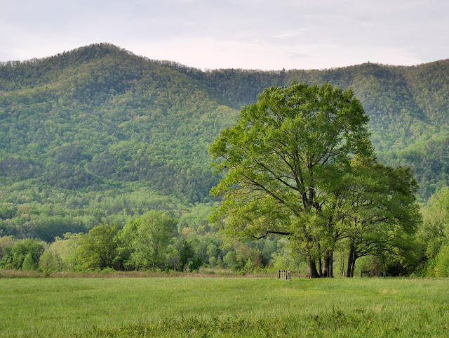
| A variety of trees grow along an old fence row |
 |
| John P Cable Grist Mill |
 |
| A large meadow adjacent to the parking area at the grist mill |
 |
| Another large meadow |
 |
| Canadian Geese |
 |
| Gregory Bald, High Point, and Sugar Cove Ridge from Sparks Lane |
 |
| Pole Knob from Sparks Lane |
 |
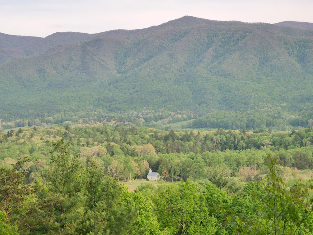
| Cades Cove from Rich Mountain Road |
 |
| Methodist Church and cemetery |
 |
| Dogwoods in bloom |
 |
| Chilhowee Mountain |

No comments:
Post a Comment