Thursday, April 23, 2015

Death Valley National Park - Jubilee Pass Road


Our February 2015 visit to Death Valley National Park concluded with an eastbound drive on Jubilee Pass Road from Ashford Junction toward Shoshone, California. The road passes over 1293 foot Jubilee Pass and 3315 foot Salsbury Pass along the route. At least part of the route is marked as California 178.

Darker gray Desert Hound Peak (4472')

Looking down Rhodes Wash at the Confidence Hills and Owlshead Mountains

More of the Owlshead Mountains

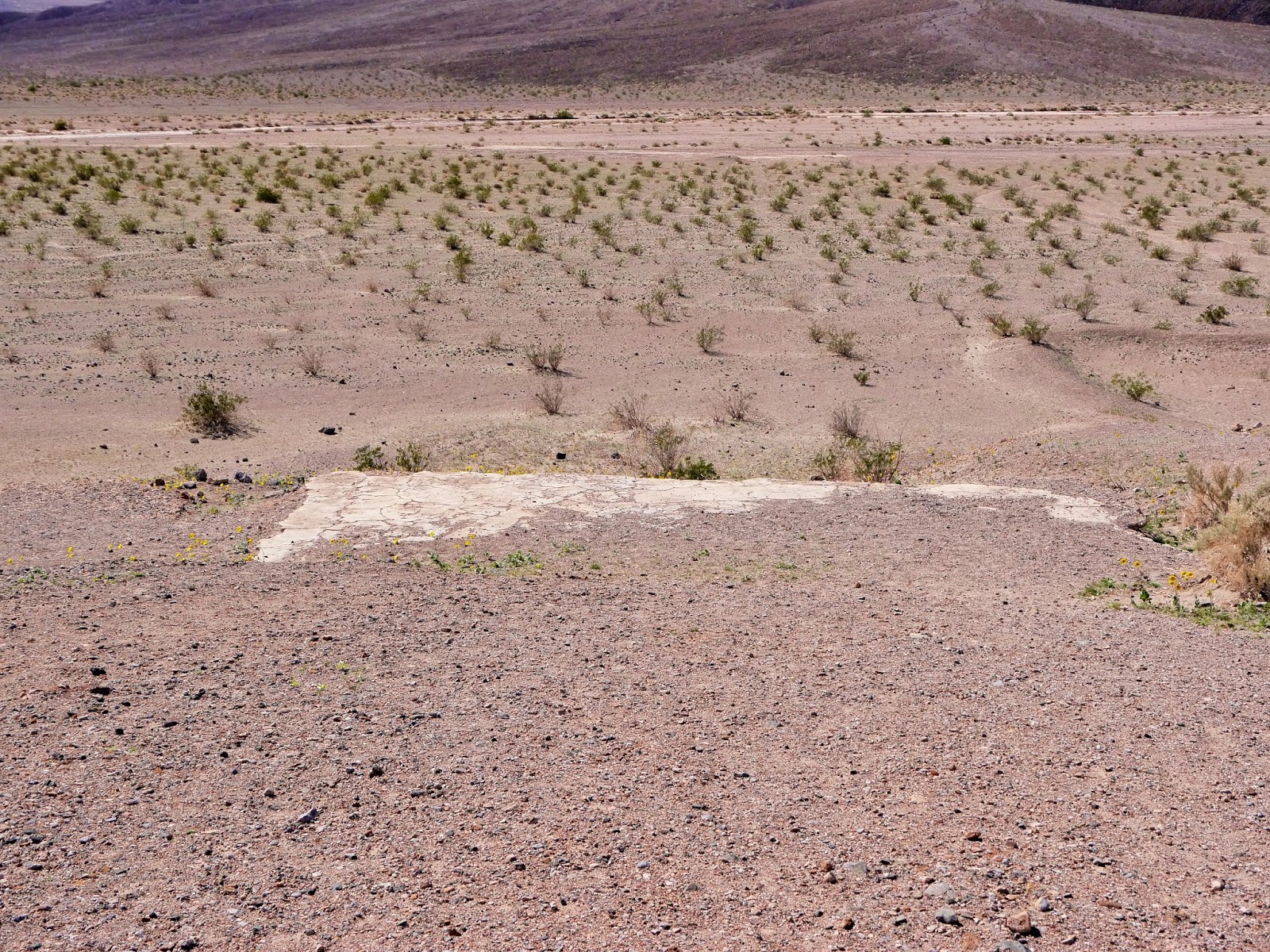
Creosote bushes and other plants slowly cover Rhodes Wash

Looking back at Shore Line Butte and the Panamint Range including
Sugarloaf Peak (dark in center 4820') and Manly Peak (gray in background 7196')

Foothills of the Black Mountains

The hillside at Jubilee Pass was covered with new growth

After crossing Jubilee Pass, the road drops down into another arm of Rhodes Wash and climbing up through Bradbury Wash before climbing up to Salsbury Pass.

The aptly named Epaulet Peak (4766')

Rhodes Hill (2,762')

Another view of Desert Hound Peak on the left and Smith Mountain (5383') in the center

Harder rock still erodes in Death Valley

Salsberry Peak (4255') in the Calico Peaks

Rhodes Hill, Desert Hound Peak and the Panamint Range

Ibex Hills (4144') from near the entrance sign

An entrance fee of $20 admits all the passengers of a single vehicle for seven days. Other options include an annual Death Valley National Park Pass for $40, an Interagency Annual Pass providing access to most national park, national forest and BLM fee areas for $80 and a lifetime Interagency Senior Pass for those age 62 and older for $10.

The park website is http://www.nps.gov/deva/index.htm.

Wednesday, April 22, 2015

Death Valley National Park - Ashford Mill Ruins


To access the ruins of Ashford Mill, drive 43.6 miles south on Badwater Road from its intersection with California 190 in Furnace Creek. Turn west onto a signed gravel road and drive ¼ mile to the end. The ruins of a 1914 gold processing mill are visible from the parking area or you can walk down to them. The elevation here is approximately 100 feet below sea level. There is no shade other than that created by the office building ruins. Other than a single interpretive sign and the southernmost restroom in Death Valley National Park, a vault toilet, there isn't anything else here other than a few concrete foundations. During our February 2015 visit to the park, we stopped at Ashford Mill because a ranger mentioned there were wildflowers blooming in the area.

Remains of the office building

Panamint Range

A concrete foundation

Another view of the office building and the Black Mountains

The mill ruins

Desert Sand-verbena (Abronia villosa)

Desert Gold (Geraea canescens)

Another view of the mill ruins

More Desert Gold

Desert Gold and Creosote bushes (Larrea tridentata) fill a wash beside the ruins

An unnamed hill on the Ashford Canyon alluvial fan (elev 60')

Ashford Peak (3547' 3.5 miles)

An entrance fee of $20 admits all the passengers of a single vehicle for seven days. Other options include an annual Death Valley National Park Pass for $40, an Interagency Annual Pass providing access to most national park, national forest and BLM fee areas for $80 and a lifetime Interagency Senior Pass for those age 62 and older for $10.

The park website is http://www.nps.gov/deva/index.htm.

Tuesday, April 21, 2015

Death Valley National Park - Badwater Road


The paved portion of Badwater Road follows the eastern edge of Death Valley south for 45 miles from California 190 at Furnace Creek to California 178 at Ashford Well. We drove it during our February 2015 visit to Death Valley National Park. I've already posted about locations from Furnace Creek to Badwater. You can find a list of those and other posts about Death Valley National Park in the National Park and Forest Posts.

Most tourists don't venture beyond Badwater, so you are likely to have the road almost to yourself. Our first stop was nearly 10 miles south of Badwater or about 26 ½ miles south of the California 190 intersection in Furnace Creek.

Copper Canyon alluvial fan and the colorful Black Mountains

A 4690' peak in the Black Mountains

Continuing just a bit further south, we stopped at a small pulloff near mile marker 28. Here, you can walk directly out onto a salt-covered dry lakebed that isn't the lowest point in Death Valley, but is still over 250 feet below sea level. This location is south of the Copper Canyon alluvial fan and north of Mormon Point.

Salt flat and the north side of Smith Mountain

View across the valley of the Panamint Range

Telescope Peak beneath the clouds

Mormon Point at the foot of Smith Mountain

Although there are numerous signs prohibiting off-road driving, some visitors ignore them

The snow from a week ago has mostly melted on the Panamint Range

Salt Flat and Owlshead Mountains (4666' 27 miles)

A small unnamed canyon above our vehicle

Desert Gold (Geraea canescens)

A closeup of Desert Gold

Continuing down Badwater Road, our next stop was at a pullout at a Point of Interest 42.3 miles south of California 190. A descriptive sign provides information about the prehistoric Lake Manly that covered Death Valley to a depth of several hundred feet. Evidence of the receding shoreline of the lake is preserved on Shore Line Butte.

Shore Line Butte

Sugarloaf Peak (4820' 13.6 miles) 

The dark area is Split Cinder Cone (-75') with Porter Peak (9101') and
Sentinel Peak (9634') of the Panamint Range in the background

Desert Gold

Ashford Peak (3547') in the Black Mountains

Desert Sand-verbena (Abronia villosa)

Creosote bush in bloom (Larrea tridentata)

An entrance fee of $20 admits all the passengers of a single vehicle for seven days. Other options include an annual Death Valley National Park Pass for $40, an Interagency Annual Pass providing access to most national park, national forest and BLM fee areas for $80 and a lifetime Interagency Senior Pass for those age 62 and older for $10.

The park website is http://www.nps.gov/deva/index.htm.

Monday, April 20, 2015

Death Valley National Park - Mosaic Canyon Trail


Mosaic Canyon is another popular hiking destination in Death Valley National Park. To get to the trailhead, drive ¼ mile west of Stovepipe Wells Village on California 190. Turn left (south) at the sign onto the 2.4 mile gravel road heading up the alluvial fan toward Tucki Mountain. The road is well maintained and climbs about 1000 feet before ending at a parking area at an elevation of about 950'. I hiked 1.5 miles up the canyon with an elevation gain of about 650 feet or an 8% grade. It is possible to hike further up the canyon with a bit of rock scrambling, but the afternoon sun was starting to fade.

Mosaic Canyon is a geological laboratory. Most of the rock is either limestone that has been metamorphosed into marble or a conglomerate called Mosaic Breccia that is similar to concrete. Each rain event re-sculpts the terrain by either eroding, filling or both.

This is one of the few canyons in the park aligned in a north-south direction. There are often shaded areas along the trail, but carrying and drinking plenty of water is still a necessity. A wide-brimmed hat and sunscreen are also recommended. I hiked the canyon during our February 2015 visit to Death Valley National Park.

Topographic map with GPS hiking route

Entering the canyon

A river of gravel

Breccia layered above polished marble

The smooth marble makes climbing a bit more difficult than it looks

Looking back down the canyon

Another giant step

As expected, the outer wall of a curve is more polished

More climbing on polished marble

A packed gravel surface makes for easy walking

The marble has been chipped into serrations

Sedimentary layers of Tucki Mountain are slowly revealed

Some of the sedimentary layers have been folded to a vertical plane

After ¼ mile, the canyon opens up

A side canyon

Fellow hikers provide a sense of the vast scale of the open section of the canyon

A single-track along the packed gravel above the canyon floor

Looking back across the open section of the canyon toward the Grapevine Mountains

The canyon narrows again

Life literally hangs on

Breccia is like a natural form of concrete

The river of gravel thins out

A rockfall appears to have blocked the way

A rock scramble pointed out by fellow hikers provides a way around

Along the back side of the rockfall

Back on the canyon floor

Another bit of scrambling is required here

The path keeps winding and climbing

There is a way around this dryfall, but I decided to head back down

Late afternoon light on the open portion of the canyon

Winding back down the canyon

Looking back at the remains of a ladder from when the canyon floor was higher

Mesquite Flat and the Grapevine Mountains beyond

An entrance fee of $20 admits all the passengers of a single vehicle for seven days. Other options include an annual Death Valley National Park Pass for $40, an Interagency Annual Pass providing access to most national park, national forest and BLM fee areas for $80 and a lifetime Interagency Senior Pass for those age 62 and older for $10.

The park website is http://www.nps.gov/deva/index.htm.