The dozen craters at the northern end of the Cottonwood Mountains in Death Valley National Park are known as maar volcanoes. They were formed when rising hot magma turned groundwater to steam. Ubehebe Crater is the largest and youngest of the series. Its eruption could have been as long as 2,000 years ago or as recently as 800 years ago. The resulting tremendous increase in underground pressure was relieved with a huge steam and gas explosion that spread debris at speeds of up to 100 mph over an area of a dozen square miles or more. Ubehebe Crater is over ½ mile wide and 770' deep from the highest point on the rim. We visited the crater during our February 2015 trip to southern California.
From the parking area, we hiked counter-clockwise around Ubehebe Crater with a pause to hike counter-clockwise around Little Hebe Crater for a total distance of 2.4 miles at elevations as low as 2570' and as high as 2900'.
 |
| Topographic map with GPS hiking route |
 |
| Trail elevation profile |
 |
| Large paved parking area on the crater rim |
 |
| The darkened surface marks the cinder field of Ubehebe |
 |
| The ash and cinders are up to 150 feet thick at the crater rim |
 |
| The initial trail to the south is wide and steep |
 |
| Looking back toward the parking area and layers of cinders and ash |
 |
| Looking north across the Death Valley Wash to the Slate Ridge in Nevada |
 |
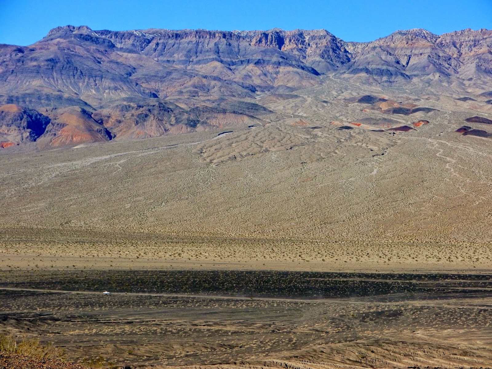
| A pickup truck heads south on Racetrack Road below a huge alluvial fan in the Last Chance Range (7200' at the gap above the fan, 7 miles) |
 |
| The trail narrows as it follows the rim of another crater |
 |
| An older crater on the southwestern edge of Ubehebe |
 |
| Tin Mountain (8953', 8.5 miles south) |
 |
| Golden Evening Primrose (Camissonia brevipes) |
 |
| Little Hebe Crater with Tin Mountain on the horizon |
 |
| A closer view of Tin Mountain |
 |
| Little Hebe is a crater within an older crater (8674' Dry Mountain is on the horizon) |
 |
| Little Hebe Crater inside its surrounding eroded crater |
 |
| Desert Gold (Geraea canescens) |
 |
| Another view of Little Hebe Crater |
 |
| The single-track trails are easy to follow |
 |
| Another view of the Last Chance Range |
 |
| Ubehebe Crater and the Gold Mountain Range |
 |
| This lava extrusion was likely exposed after Ubehebe erupted |
 |
| The trail skirts the rim of the crater |
 |
| Clouds over the Gold Mountain Range |
 |
| Looking down into the crater from the trail |
 |
| The older conglomerate layers of rock are continuously exposed |
 |
| The trail continues along the rim of the crater |
 |
| Layers of ash show there were numerous eruptions in the Ubehebe area |
 |
| Looking east to the Grapevine Mountains including High Peak (8370', 14 miles) |
 |
| Silt is slowly filling Ubehebe Crater |
 |
| A trail leads to the bottom of Ubehebe |
An entrance fee of $20 admits all the passengers of a single vehicle for seven days. Other options include an annual Death Valley National Park Pass for $40, an Interagency Annual Pass providing access to most national park, national forest and BLM fee areas for $80 and a lifetime Interagency Senior Pass for those age 62 and older for $10.
The park website is http://www.nps.gov/deva/index.htm.

No comments:
Post a Comment