Tuesday, March 26, 2013

Colditz Cove State Natural Area


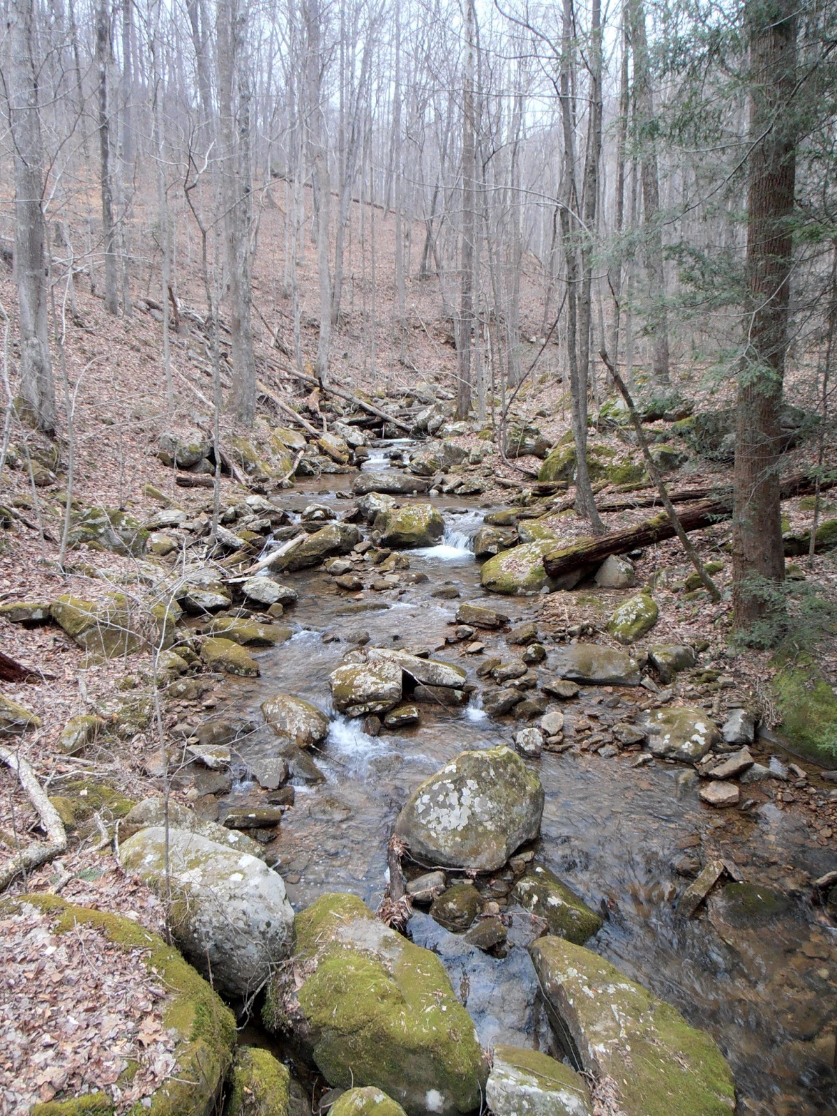
Colditz Cove is one of eighty-two State Natural Areas in Tennessee.  Located just outside of Allardt in Fentress County on the Cumberland Plateau, the main feature of the 165 acre area is the 63 foot high Northrup Falls.  Although the location is not well marked with road signs, the directions on the state website lead directly to the gravel parking area.  A 0.2 mile trail leads from the parking area to the rim with a partially obstructed view of the falls.  At the rim, the trail branches to form a loop that drops down into the gorge, behind the falls and then climbs up the gorge before returning to the linear trail.  The total trail distance is about two miles.  I'd suggest heading left at the rim as the trail seems easier and provides better views of the falls than going right.  I visited the area on the middle weekend in March, 2013, and found only one other vehicle in the parking area.  I never saw the people, but I did hear them when I think they were in the amphitheater-like rock shelter behind the falls.

Trail head

Short boardwalk over a wet area

Trail to the rim

First glimpse of Northrup Falls from near the trail junction

The loop trail is narrow and steep in places

Water drips off the rock face onto the trail

The loop trail is broad and level in other places

Northrup Falls

Water cascades over the rocks at the bottom of the falls


Looking out from the rock shelter

Looking back at the falls for the perspective
of counterclockwise hikers

Just as on the way down, there are many wet
sections of the trail on the way up

Climbing out of the gorge on a dry section of trail

There are wet areas even on the rim trail

Bridge over Big Branch

Looking at the top of the falls from the bridge

Many trees were down along the rim trail

Sunset from Allardt

Other than a gravel parking area and the trail, there are no facilities such as restrooms or a visitor center at this natural area.  There are no handrails or fences along the rim, so this might not be the place for small children or a group with more children than adults.  A walking stick or trekking poles are very useful tools on this hike.  Two bridges with handrails are provided.  One crosses an unnamed creek just to the left of the trail junction at the rim and the other crosses Big Branch upstream of the falls.

The park website is http://www.tn.gov/environment/na/natareas/colditz/.

Saturday, March 23, 2013

Frozen Head State Park and Natural Area


Frozen Head State Park and Natural Area is located just east of Wartburg, Tennessee.  The park includes over 24,000 acres of state owned property plus an additional 20,000 acre easement.  Of the total 45,326 acres, only about 330 acres are developed with the remaining 45,000 acres managed as a Natural Area.  The 330 developed acres are in the Flat Fork area and include a maintenance base, a visitor center with restrooms and a gift shop, picnic areas and a campground.  


Flat Fork near the park entrance

In early March, 2013, I hiked a portion of the Panther Branch Trail and the Emory Gap Trail to Emory Gap Falls.  The Panther Branch Trail head is at the end of Flat Fork Road.  A limited amount of parking is available near the trail head.  The trail is marked with blue blazes.  Most of the portion of the trail I hiked is an old roadbed that doesn't need the blazes.


North Prong Flat Fork near the trail head


The first part of the trail follows an old roadbed


Small waterfall on an unnamed creek


Another unnamed creek flows into North Prong Flat Fork

After approximately 0.6 miles, a sign points to a short path to DeBord Falls on North Prong Flat Fork.   This waterfall is only about 12 feet high, but it is very scenic as a rock formation splits the flow into two channels at that falls.  An overlook with a railing has been built as well as fencing along the edge of the gorge.  The overlook is downstream of the falls and about 20 feet higher than the top of the falls.


Path to DeBord Falls overlook

DeBord Falls from the overlook


Steps and a handrail lead to the base of DeBord Falls


DeBord Falls from the access trail


DeBord Falls on North Prong Flat Fork


After returning to Panther Branch Trail, it is only another 0.2 miles to the junction with the Emory Gap Trail.  The junction is well marked, with the white blazed Emory Gap Trail slightly to the left or nearly straight ahead.  Emory Gap Trail is narrower and has many more rocks and roots to contend with than the previous trail as well as some wet patches.  The trail is only one-half mile long and includes one rather long switchback to gain elevation.

White blazed Emory Gap Trail

Over or under, your choice

Bridge over an unnamed side creek

View from the bridge of the unnamed creek

The trail needs some water diversion work

The first glimpse of the falls is basically at the end of the trail.  Hikers have to pick their way across the creek and over several boulders or climb up the rocks on the left to the base of the rock house that continues behind the falls.  An additional 100 feet of trail would be a major improvement.  Emory Gap Falls is approximately 25 feet high


First glimpse of Emory Gap Falls

Emory Gap Falls

The plunge pool is littered with boulders

Emory Gap Falls from the opposite creek bank

I could not setup to take a video of Emory Gap Falls due to the large number of people and their pets wandering around in the small area.  This isn't a criticism, just a note that the falls are a very popular weekend destination.  The round trip hike was about 2.75 miles with a 500 foot climb and descent.

The park website is http://www.tn.gov/environment/parks/FrozenHead/.

Friday, March 22, 2013

Snow in Cades Cove - Great Smoky Mountains National Park


Several inches of snow accumulated in Cades Cove on Saturday, March 2, 2013.  As there was very little traffic, we had the opportunity to stop at several places that are often too crowded to visit.


John Oliver Cabin


Solitary tree on the way to the cabin

John Oliver Cabin

Another view of the John Oliver place

View from the cabin out toward the cove

Along the road, we saw lots of wildlife.


Wild turkey at the gate

Wild turkey in the field

Deer grazing in the snow

Field of snow


Methodist Church


Cemetery and church house

Interior of the Methodist church with two aisles


Missionary Baptist Church


Church building from the parking area

Interior of the Missionary Baptist church


Northwest Overlook


Looking east from where we came

Looking southeast across the cove

Daffodils in the snow


Eastbound


Winter Wonderland

A wild boar rooting in the snow

Another view of the wild boar


Tipton Place


Outbuilding at the Tipton place

Backside of the two-story Tipton house

Replica cantilever barn

As I was heading back to the car from the cantilever barn, a ranger stopped to politely let us know that he had to close the loop in time for the plow operators to get back to Townsend before the end of their shift.  We didn't make any more stops, but the wonderland continued all the way out of the cove.

The park website is http://www.nps.gov/grsm/index.htm.