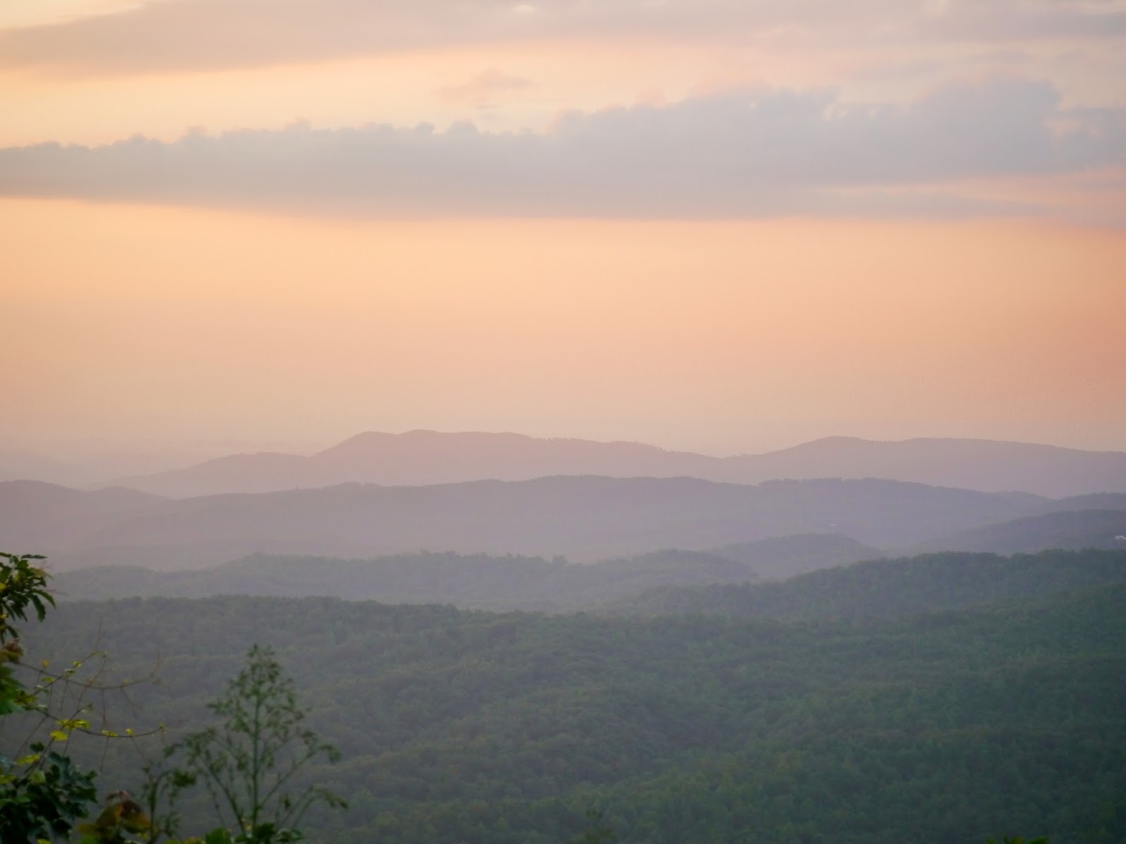
In late July, 2013, I hiked the O&W Trail from Leatherwood Ford to the O&W Bridge in the Big South Fork National River and Recreation Area. Leatherwood Ford is on TN 297 about eleven miles west of its junction with US 27 in Oneida, Tennessee. The trailhead at Leatherwood Ford includes paved parking, river access, picnic tables and restrooms.
Quoting from the park sign:
Part of the John Muir Trail, the O&W Trail follows the river upstream to the Oneida and Western Railroad Bridge. The bridge was previously used by another railroad and erected on this site in 1916. Trains carried coal, timber, passengers, mail and other goods across this bridge on three daily round trips between Oneida and Jamestown. On the west side of the bridge, you can climb a steep 1-mile section of the JMT past a waterfall and up to a large rock shelter known as The Devils Den. The John Muir Trail currently ends here.Quoting from the second park sign:
An easy to moderate 2.3-mile trail (one way) to the bridge, marked with the John Muir Trail (JMT) blue silhouette blaze.
The O&W was an active railroad during the "boom" days of logging and mining in the 1920s. This trail follows the river, passing large rock outcroppings and woodland forest of beech, maple, mountain laurel and rhododendron.
The O & W Bridge is a Whipple truss design, manufactured in the late 1800s, few survive today.The trail starts beside the information shelter and proceeds under the highway 297 bridge. A marker on the bridge notes that it was an American Institute of Steel Construction, Inc. 1984 Award of Merit Bridge for medium span, low clearance bridges.
 |
| Information shelter |
 |
| Trail directions and distances were clearly marked |
 |
| Award winning Tennessee highway 297 bridge over the Big South Fork |
 |
| Trail passes under the highway 297 bridge |
 |
| The Leatherwood Loop trail junction is clearly marked |
 |
| The initial portion of the trail is wide and easy |
 |
| Rest bench near the first wooden bridge |
 |
| The trail skirts large boulders as it heads upstream |
 |
| Tree growth has limited the view from this platform |
 |
| The stairs down to the river are closed due to flood damage |
 |
| The wide trail continues with an easy grade |
 |
| The first half of the trail closely follows the river |
 |
| The trail starts climbing along the former mule-drawn skid path |
 |
| Water has washed out about half the trail width |
 |
| The second Leatherwood Loop trail junction is also clearly marked |
 |
| Downed trees and brush from storms earlier in the summer have been cleared |
 |
| A few small stream crossings are made by rock hopping |
 |
| View upstream of the Big South Fork of the Cumberland River |
 |
| Tenacity! |
 |
| View downstream of the Big South Fork of the Cumberland River |
For the most part, the trail is very well marked. The one area place where it wasn't clear is where the trail appears to continue straight, but actually climbs the stone steps to the left as shown in the next three pictures. The trail is blazed with a small blue silhouette of John Muir as can be seen in the third picture.
 |
| Trail heads up the steps to the left... |
 |
| ...that quickly becomes a switchback |
 |
| Note the blue and white trail marker on the tree |
 |
| The second switchback is much more obvious |
 |
| The trail narrows and steepens |
 |
| Looking back at another stream crossing |
 |
| Looking back at the steps that lead to the railroad spur |
 |
| The trail follows the grade of a railroad spur that was never completed |
 |
| Drainage is an issue where the spur cuts through the hill |
 |
| Bridges and culverts were not built as only the rough grading was completed |
 |
| For the most part, the river side of the trail is higher and drier |
 |
| Simple foot bridges span most of the wet areas |
 |
| A huge boulder fell on the spur during construction |
 |
| The trail emerges at O&W Road |
 |
| The O&W Bridge is planked for single-lane vehicle use |
 |
| A set of wooden stairs beside the bridge allows river access |
 |
| The underside of the O&W Bridge |
 |
| Rapids upstream of the railroad bridge |
 |
| O&W Bridge from upstream |
 |
| Big South Fork |
 |
| Looking downstream from the bridge |
 |
| Looking upstream from the bridge |
 |
| Looking back across the bridge from the far side |
 |
| The O&W Bridge and river bluff from the Devil's Den Trail |
 |
| River bluff from the bridge |
 |
| Looking downstream from the west end of the bridge |
The park website is http://www.nps.gov/biso/index.htm.