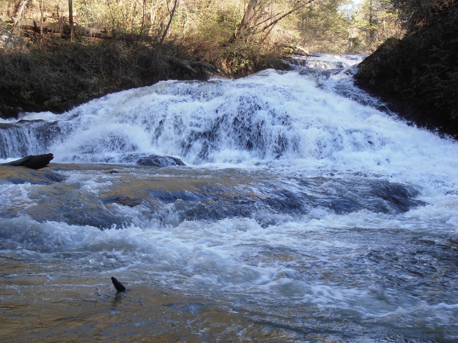
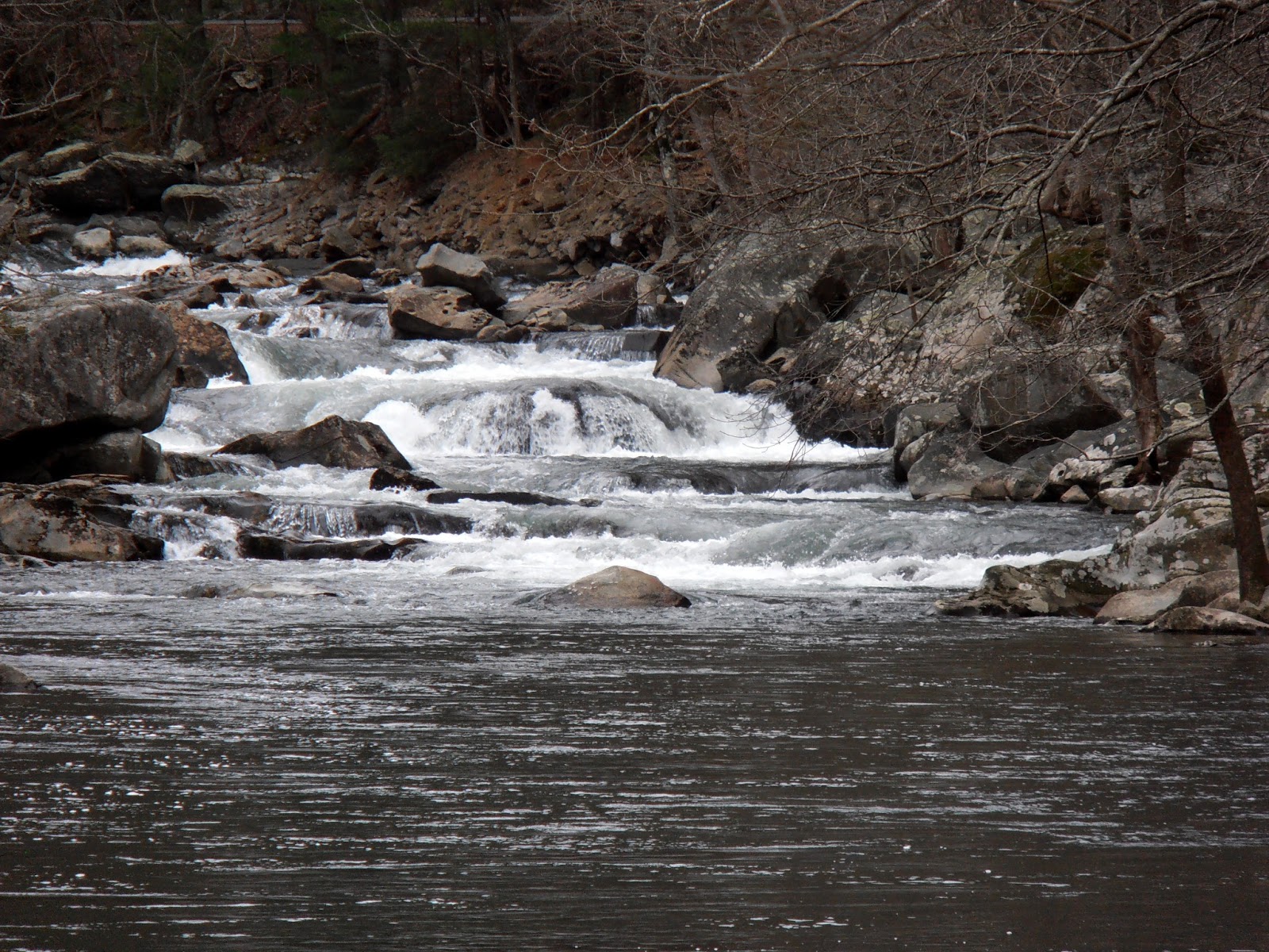
After a few days of rain during the week, the second Saturday in April, 2013, dawned clear and mild, so we decided to hike to Turtletown Falls. Finding the trail head usually isn't a problem for us, but several road signs were missing from the Farner area when we visited. For anyone needing more precise directions than those found on the Forest Service website, I trust the following will prove useful for those southbound on TN 68. From under the railroad at the south end of the curved Hiwassee River bridge, continue 0.8 miles south on TN 68 then make a slight right onto Duggan Road. The Duggan Road sign was missing when we were there, but it is the only right turn in the area. After traveling 0.6 miles on Duggan Road, turn right onto Farner Road for an additional 0.5 miles. Finally, turn right onto an unsigned gravel road that you might mistake for a driveway if you don't notice the backside of a stop sign. After turning onto the gravel road you'll see a sign denoting it as NFSR 1166. Drive about 1.25 miles to the parking area at the end of the road. Just before the parking area, the road crosses a creek without benefit of a bridge. If the parking area is full and you chose to park back up the road, you'll have to wade across the creek before beginning your hike. The trail is Forest Trail 185, but there are no markers to note that either. The trail is the old logging road behind the gate to the right of the parking area and is well marked with white blazes. There were several muddy sections along the trail, but many had flat rocks that were placed in strategic locations to enable quick, dry passage. Due to the muddy areas along the trail, a walking stick can be a useful tool.
The trail starts on an old logging road...
...and closely follows Turtletown Creek
One section was so muddy that a foot bridge has been built
Scouting ahead to find a way around the next wet section
After about 0.7 miles, a footpath heads off to the left while the logging road continues to climb up the hill. There is no junction sign and both the footpath and the road have the white blazes. Take the footpath another 0.3 miles to the base of the falls. There are several steps and some switchbacks along this part of the trail.
The footpath hugs the side of the hill
Small creeks cross the trail
Tree roots are used as natural stairs
Railings help discourage shortcuts on the switchbacks
There are a couple of very nice views of Turtletown Falls from across the pool at its base. The mist keeps the rocks and trees damp and slippery, so watch where you step and where you sit.
Turtletown Falls from creekside
Turtletown Falls from the end of the trail
Turtletown Falls from the basin
Retrace your steps along the creek, then continue straight instead of climbing the steps to head toward Lower Turtletown Falls. After 0.7 miles, the footpath ends at the logging road. Turn left and continue another tenth of a mile to the end of the trail at the lower falls.
The footpath between the falls climbs over 150 feet and then descends over 300 feet
The logging road ends as a footpath
Lower Turtletown Falls from the overlook
Lower Turtletown Falls from creekside
To return to the parking lot, you can either retrace your route for 1.8 miles or you can follow the logging road to the top of the ridge to see the Hiwassee River gorge and possibly catch a glimpse of the river through the trees. This section of the river is between Apalachia Dam and Apalachia powerhouse, so most of the river is diverted through an 8-mile tunnel under the ridge. By the way, the name of the dam really is spelled with only one 'p' as opposed to the more customary spelling with two 'p's. The initial climb along the logging road from the lower falls is rather long, so pace yourself. After about a mile, a junction appears. Turn to the right and cross the branch to head back to the parking lot. This return route is just over 2 miles, but is wide enough to walk side-by-side instead of single file. It also avoids the steps and switchbacks of the creekside trail. The forest website is http://www.fs.usda.gov/cherokee. The trail website is http://www.fs.usda.gov/recarea/cherokee/recreation/hiking/recarea/?recid=35074.
I visited House Mountain in early April, 2013. The park is owned by the state, but operated by the county. The parking area is rather small and often full. However, the park is large enough that it doesn't feel crowded. There are five trails in the park. The Left Sawmill Loop is 0.3 miles and the Right Sawmill Loop trail is 0.4 miles. Both of these are in the valley area around the parking lot. A short connector trail leads to the West Overlook Trail with white blazes that climbs over 1000 feet to the western end of the ridge in 0.8 miles as well as the blue blazed Mountain Trail that heads north climbing about 1000 feet to reach the top near the middle of the ridge. The red blazed Crest trail follows the crest of the mountain for 1.5 miles from the junction with the West Overlook trail past the Mountain trail another 0.7 miles to the partially obstructed eastern overlook. Hiking all three of the mountain trails produces a 4.0 mile loop.
Picnic shelter and vault toilets
Connector Trail
Connector Trail junction
West Overlook Trail
A series of rocks have been strategically placed across the mud
In places, the blazes are the only sure sign of the trail
Switchbacks have been fenced to reduce erosion caused by shortcuts
The trail wanders along and through a boulder field
Looking west back down the trail
Looking west toward Knoxville from the overlook
Another view west with a second camera
Looking across the valley toward the Smoky Mountains
Crest Trail
Portions of this trail are on private property, so please stay on the obvious trail. I'm fairly certain there are some wonderful views to the north from just off the trail, but those areas are well marked as being private property that is off limits.
The trail climbs up from the overlook
The trail on the ridge is well defined
Beautiful vista to the north from near the communication tower
The cap rock is likely the high point along the trail
Part of the trail is loose sand
Junction with the Mountain Trail
The trail was probably a road at some point in the past
There were several blown down trees across the trail
Rock outcroppings along the trail
More downed trees
The end of the trail is fairly obvious even though it is not marked
Eastern overlook view of Clinch Mountain
Rutledge Pike far below
Looking east toward Corryton and the 1752 foot tall radio tower
Closeup of Clinch Mountain
Mountain Trail
The upper trail junction is muddy with rock stepping stones
The upper part of the trail is dry and wide
After the first switchback, the trail narrows and has several muddy sections
The trail meanders around boulders and misshapen trees
The lower section widens out again
After being bitten numerous times by swarms of flying bugs, I did not hike the two loop trails. Volunteers have scheduled a trail maintenance day later in the month so expect improvements to the conditions I encountered. The park website is http://www.tn.gov/environment/na/natareas/housemtn/.
I visited the Bald River Falls area again in early April, 2013. The Cherohala Skyway Visitor Center in Tellico Plains contains restrooms, a small theater, a gift shop and an information desk. Summer hours are 9 AM to 5 PM seven days per week. The friendly staff provides maps, road information, and information about other visitor opportunities in the general area. Whether you plan to drive, ride, hike, kayak, canoe, bird watch, camp, fish or hunt, the visitor center is the place to start. Hours and days are reduced in the winter, so plan accordingly. The Cherohala Skyway (TN 165) follows the Tellico River upstream for a few miles before climbing up the mountains. Along this section are three paved overlooks that offer some great views.
Tellico River at Wildcat Overlook
About five miles past the visitor center, turn right on US Forest Service Road 210, River Road, to continue to follow the Tellico River up to Bald River Falls. River Road is a paved two-lane road, but it has very few gravel pullouts and does not have shoulders or guard rails. As I've noted before, a large gravel pullout has been constructed just beyond the point where River Road crosses the Tellico River. This area is very scenic and not nearly as crowded as the area around the falls. After about six miles, River Road crosses the Bald River just below the falls. Visitors with mobility issues will have excellent views on the right side. A small paved parking area is provided just beyond the falls. A trail at the far end of the parking area provides access to the Bald River above the falls.
Tellico River upstream of River Road bridge
Bald River Falls from the bridge
Bald River Falls from the river
Bald River Falls from below the bridge
Start of trail
First switchback
New stairs ease descent back to the river
Bald River Falls
The trail continues upstream
Upper cascades of Bald River Falls
Falls above the cascades
The Bald River seems to fall of the edge of the world
Calm pool above the falls
The trail climbs high above the Bald River
Returning to the parking area provides a nice view of the road bridge