Tuesday, April 26, 2016

Turk Gap to Wildcat Ridge Trailhead - Appalachian Trail - Shenandoah National Park


Our shortened third day of hiking on the Appalachian National Scenic Trail (AT) in Shenandoah National Park continued with a 2.3 mile from Turk Gap to the Wildcat Ridge trail junction. To reach the parking area at Wildcat Ridge required an additional 0.1 mile hike up the Riprap Trail for a segment total of 2.4 miles. We hiked in mid-April 2016.

The trail quickly moves away from Skyline Drive and then ascends a ridge before closely following the Albemarle and Augusta County boundary to the top of an unnamed hill approximately 600 feet above Turk Gap before descending and crossing Skyline Drive at 1.9 miles. After crossing the roadway, the trail slowly descends below road level and intersects with the Riprap Trail. A right turn leads up to the road and the parking area.

Topographic map with GPS route

Elevation profile

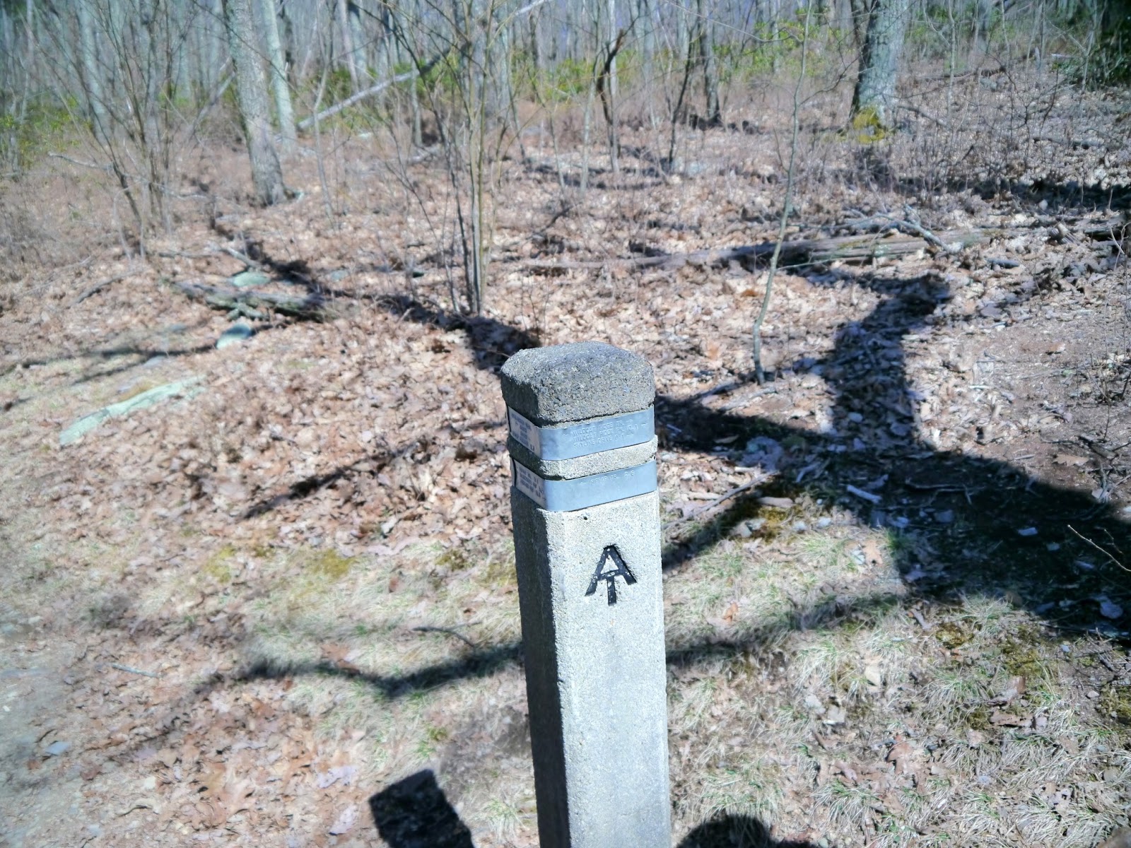
Trail marker at Turk Gap parking area

The trail winds through open forest with lots of leaf litter

Evidence of trail maintainers' work

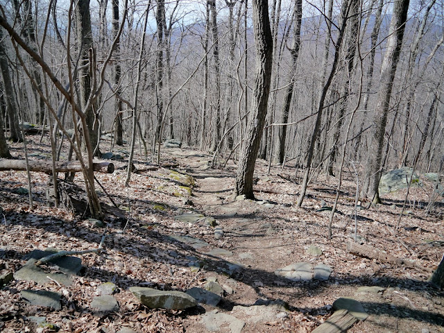
Climbing the unnamed hill

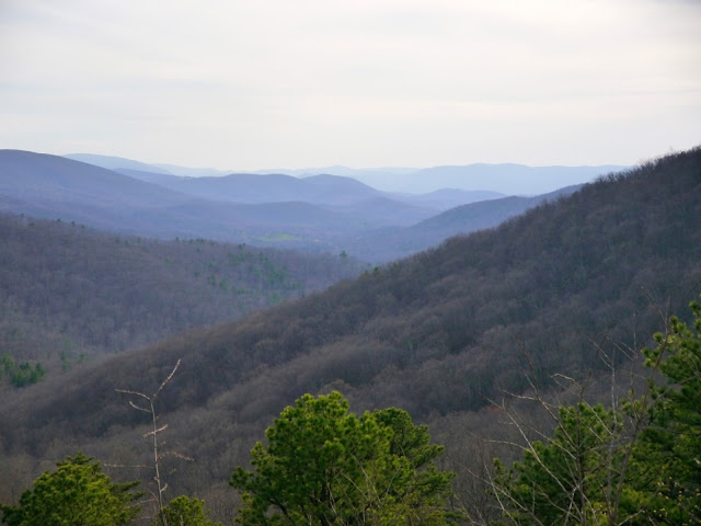
Obstructed, but still great views before the trees leaf out

The trail continues to climb

One of two switchbacks along this segment

The top is in sight

More evidence of trail maintainers atop the hill

An unusually bent tree

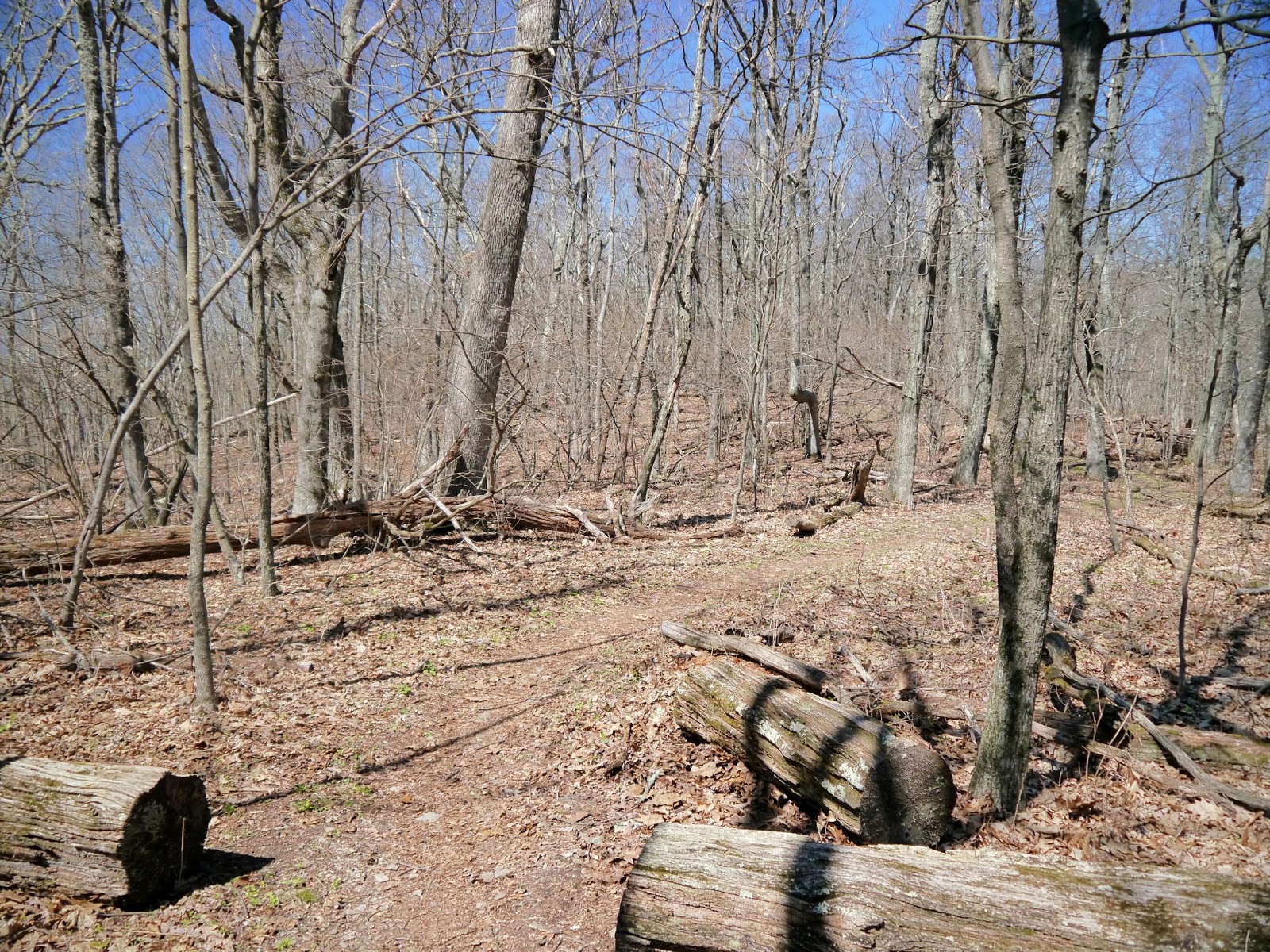
Open forest along the crest of the ridge

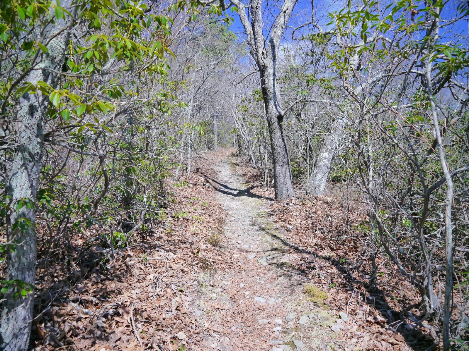
Mountain laurel lines the trail

In summer, this will be a green tunnel

Back in the open forest

Gentle descent to Skyline Drive

Roadside trail marker

The trail continues on the west side of the roadway

The trees are a bit larger than on the ridge

A typical side-slope area of the trail

More mountain laurel

Wildcat Ridge Trail intersection

A short hike up the blue blazed Wildcat Ridge Trail leads to the parking area

A Shenandoah National Park entry fee of $20 per vehicle, $15 per motorcycle or $10 per person is valid for seven consecutive days. Other fee payment options include the America the Beautiful - National Parks and Federal Recreational Lands passes including the Annual Pass ($80), Senior Pass ($10 for lifetime), Access Pass (free with documented disability) and Military Annual Pass (free for active duty personnel).

The Shenandoah National Park website is https://www.nps.gov/shen/index.htm.

The Appalachian National Scenic Trail website is https://www.nps.gov/appa/index.htm.
The Appalachian Trail Conservancy website is http://www.appalachiantrail.org/.

Sunday, April 24, 2016

Sawmill Run Overlook to Turk Gap - Appalachian Trail - Shenandoah National Park


Due to a forecast of overnight and morning storms, we planned a short afternoon jaunt of just 3.9 miles for our third day of day hiking the Appalachian National Scenic Trail (AT) in Shenandoah National Park. We began at Sawmill Run Overlook and stopped at the Wildcat Ridge parking area. Besides the 3.9 miles on the AT, we hiked 0.1 mile from the trail junction up the Wildcat Ridge trail to the parking area on Skyline Drive for a total hike of 4.0 miles.

The hike from Sawmill Run Overlook to Turk Gap is only 1.6 miles and has an average grade of about 5%. The highest point on this part of the AT is near the junction with the Turk Mountain Trail about ¼ mile from the Turk Gap end of the trail segment. There were several trees down across the trail, but only one was high enough to impede our progress in mid-April 2016.

Topographic map with GPS route

Elevation profile

View from Sawmill Run Overlook

The AT crosses Skyline Drive a few yards north of the overlook

Deceptive descent from the roadside...

...leads to the first of several ascents

First blooms we've seen other than wildflowers

One of several downed trees on this section of the trail

This one was too high to walk over and too low to walk under, so we straddled our way across

Lots of leaf litter in the dense forest of small trees

Another white blaze marks the trail

Moss covered rocks line the trail

Hand-made gravel reduces erosion on this hill

Beautiful day for a hike

This part of the forest has fewer, larger trees

More open forest

Post marks the junction with the Turk Mountain Trail to the left

A level, wide, dry dirt surface makes a great trail

Smaller trees abound as we descend to the gap

The trail climbs up to the road at Turk Gap

A Shenandoah National Park entry fee of $20 per vehicle, $15 per motorcycle or $10 per person is valid for seven consecutive days. Other fee payment options include the America the Beautiful - National Parks and Federal Recreational Lands passes including the Annual Pass ($80), Senior Pass ($10 for lifetime), Access Pass (free with documented disability) and Military Annual Pass (free for active duty personnel).

The Shenandoah National Park website is https://www.nps.gov/shen/index.htm.

The Appalachian National Scenic Trail website is https://www.nps.gov/appa/index.htm.
The Appalachian Trail Conservancy website is http://www.appalachiantrail.org/.

Friday, April 22, 2016

Beagle Gap to Sawmill Run Overlook - Appalachian Trail - Shenandoah National Park


Our second day of hiking the Appalachian Trail in Shenandoah National Park continued another 5.0 miles from Beagle Gap to Sawmill Run Overlook. The first 1.8 miles of our day hike, from McCormick Gap to Beagle Gap, can be found here.

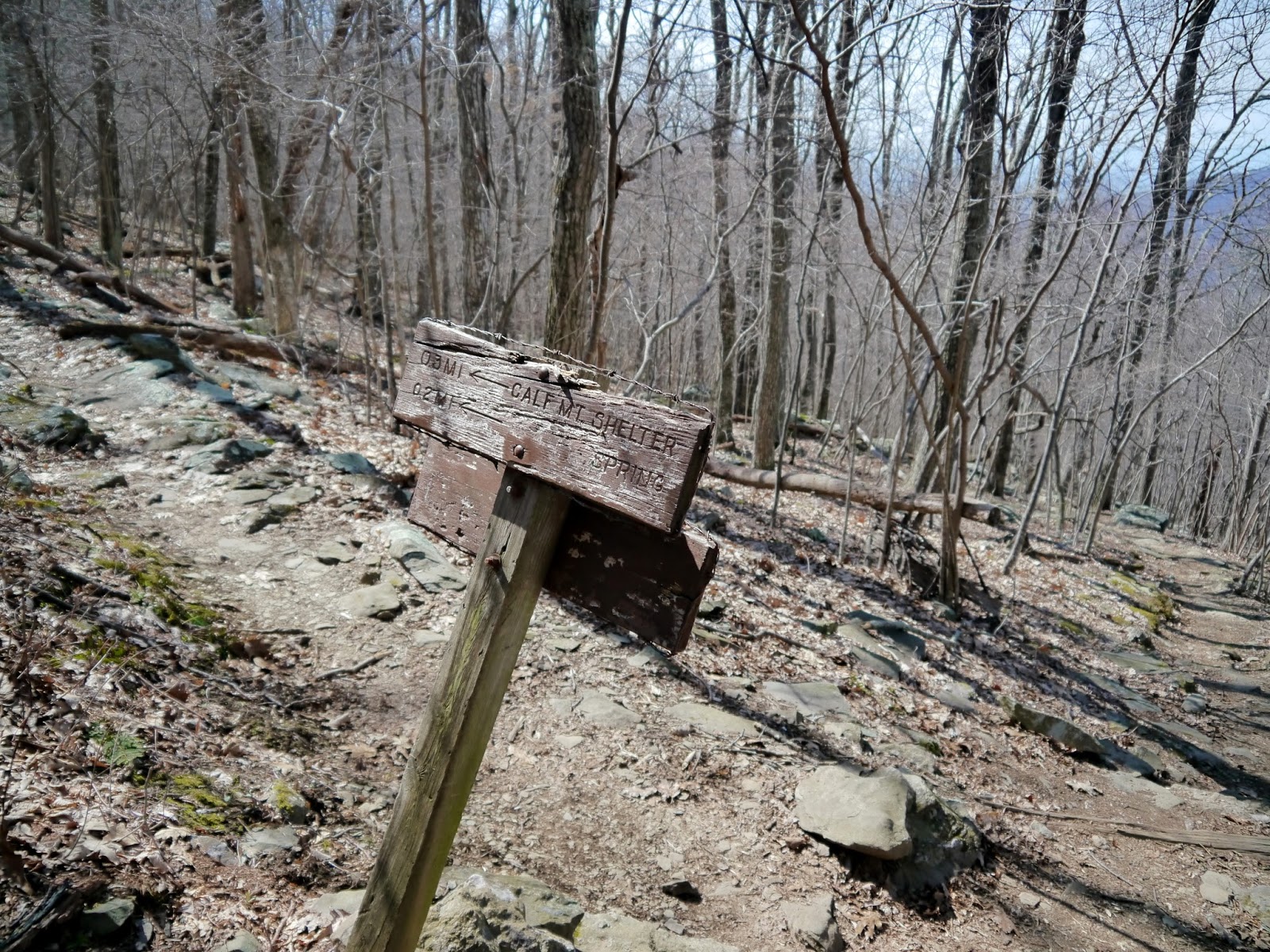
From the parking area, the trail gradually climbs through a meadow and into the woods. A 2012 re-route of the trail then heads northwesterly before turning northeasterly as it climbs Little Calf Mountain. The grassy summit at 2910' is reached in about 0.9 miles and provides some great vistas. The trail then follows the ridge to the summit of 2974' Calf Mountain at about 1.6 miles before descending via a lengthy switchback toward Skyline Drive. A short spur trail to the left leads to the Calf Mountain shelter. Momentarily leaving the woods, the trail parallels Skyline Drive while passing under the Dominion Virginia Power power lines.

Just beyond the power lines, the Potomac Appalachian Trail Club (PATC) sign denotes the unofficial entry into Shenandoah National Park. From what we have seen, the PATC volunteers have done a great job of maintaining the AT through the park. The trail continues to descend as it passes below Jarman Gap on its way to the South Fork Moormans River. After following the small stream for a distance, the trail climbs to an unnamed ridge that divides the Moormans River watershed on the east from the Sawmill Run watershed on the west. A fairly steep half mile descent ends as the trail crosses Skyline Drive. The Sawmill Run Overlook is just a few steps to the left of the trail and provides a nice view to the southwest.

Topographic map with GPS route

Elevation profile

A pass through keeps the pasture gate closed

Upper end of the pasture

Trail enters the open woods

Wooden posts are used by trail maintainers outside the park

Trail skirts a boulder...

...and passes a large rock outcrop...

...before switching back as it climbs the mountain

Summit of Little Calf Mountain

View from the summit

Towers on Bear Den Mountain

Trail toward Calf Mountain summit

The trail crosses a three-foot high rock outcrop

Swallowtail butterfly

Calf Mountain summit cairn

More boulders on the side of the mountain

Sign marking the 0.3 mile spur trail to the Calf Mountain shelter

Rocks border the descending trail

Looking west under the Dominion Virginia Power high voltage lines

Common blue violets (Viola sororia) under the power lines

Re-vegetation project after power line construction

Unofficial park entrance sign

Skyline Drive is so close, yet so far

Concrete post marks a spring that seeps across the trail

Looking upstream at the spring

The trail crosses a fire road that leads left down to Jarman Gap in 0.1 miles

A trail switchback turns at a second, larger spring

View upstream of the ephemeral stream above the spring

The trail crosses the Moormans River fire road

A 0.1 mile climb up the fire road leads to Jarman Gap

The trail continues to follow the upper reaches of the South Fork Moormans River downstream

A final view of the river...

...before the trail begins to climb out of the watershed

A switchback on the way up

View from atop the ridge at 2453'

The green of the stream side is replaced with the dry leaves and sturdy mosses of the ridge

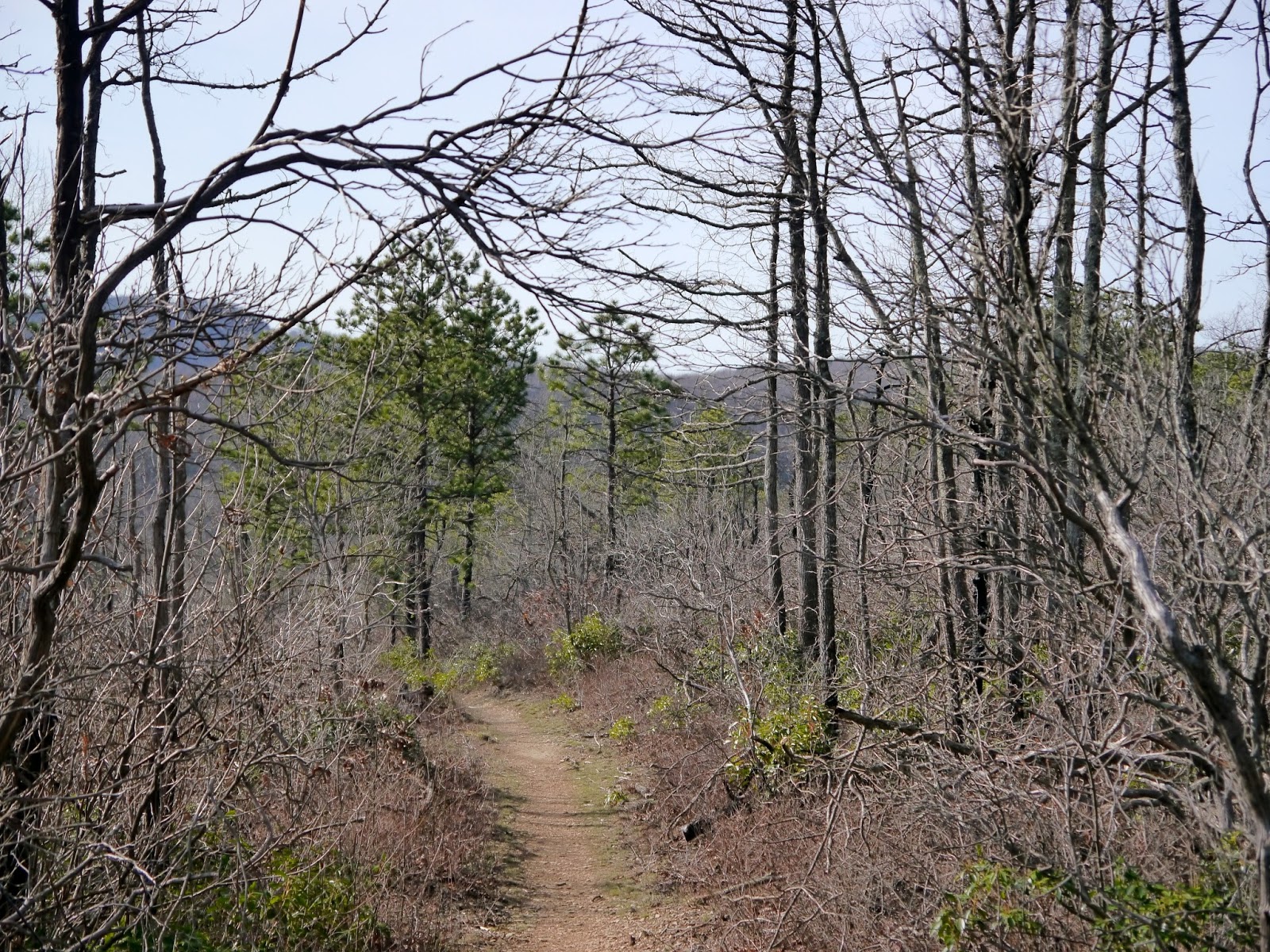
The trail passes through a long thicket on the ridge

Trail emerges onto Skyline Drive

View from Sawmill Run Overlook

A Shenandoah National Park entry fee of $20 per vehicle, $15 per motorcycle or $10 per person is valid for seven consecutive days. Other fee payment options include the America the Beautiful - National Parks and Federal Recreational Lands passes including the Annual Pass ($80), Senior Pass ($10 for lifetime), Access Pass (free with documented disability) and Military Annual Pass (free for active duty personnel).

The Shenandoah National Park website is https://www.nps.gov/shen/index.htm.

The Appalachian National Scenic Trail website is https://www.nps.gov/appa/index.htm.
The Appalachian Trail Conservancy website is http://www.appalachiantrail.org/.