
Frozen Head State Park and Natural Area is located just east of Wartburg, Tennessee. The park includes over 24,000 acres of state owned property plus an additional 20,000 acre easement. Of the total 45,326 acres, only about 330 acres are developed with the remaining 45,000 acres managed as a Natural Area. The 330 developed acres are in the Flat Fork area and include a maintenance base, a visitor center with restrooms and a gift shop, picnic areas and a campground.
 |
| Flat Fork near the park entrance |
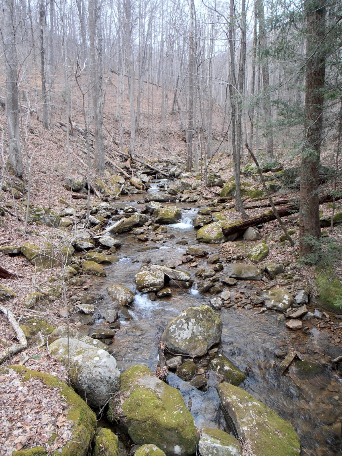
In early March, 2013, I hiked a portion of the Panther Branch Trail and the Emory Gap Trail to Emory Gap Falls. The Panther Branch Trail head is at the end of Flat Fork Road. A limited amount of parking is available near the trail head. The trail is marked with blue blazes. Most of the portion of the trail I hiked is an old roadbed that doesn't need the blazes.
 |
| North Prong Flat Fork near the trail head |
 |
| The first part of the trail follows an old roadbed |
 |
| Small waterfall on an unnamed creek |
 |
| Another unnamed creek flows into North Prong Flat Fork |
After approximately 0.6 miles, a sign points to a short path to DeBord Falls on North Prong Flat Fork. This waterfall is only about 12 feet high, but it is very scenic as a rock formation splits the flow into two channels at that falls. An overlook with a railing has been built as well as fencing along the edge of the gorge. The overlook is downstream of the falls and about 20 feet higher than the top of the falls.
 |
| Path to DeBord Falls overlook |
 |
| DeBord Falls from the overlook |
 |
| Steps and a handrail lead to the base of DeBord Falls |
 |
| DeBord Falls from the access trail |
 |
| DeBord Falls on North Prong Flat Fork |
After returning to Panther Branch Trail, it is only another 0.2 miles to the junction with the Emory Gap Trail. The junction is well marked, with the white blazed Emory Gap Trail slightly to the left or nearly straight ahead. Emory Gap Trail is narrower and has many more rocks and roots to contend with than the previous trail as well as some wet patches. The trail is only one-half mile long and includes one rather long switchback to gain elevation.
 |
| White blazed Emory Gap Trail |
 |
| Over or under, your choice |
 |
| Bridge over an unnamed side creek |
 |
| View from the bridge of the unnamed creek |
 |
| The trail needs some water diversion work |
The first glimpse of the falls is basically at the end of the trail. Hikers have to pick their way across the creek and over several boulders or climb up the rocks on the left to the base of the rock house that continues behind the falls. An additional 100 feet of trail would be a major improvement. Emory Gap Falls is approximately 25 feet high
 |
| First glimpse of Emory Gap Falls |
 |
| Emory Gap Falls |
 |
| The plunge pool is littered with boulders |
 |
| Emory Gap Falls from the opposite creek bank |
I could not setup to take a video of Emory Gap Falls due to the large number of people and their pets wandering around in the small area. This isn't a criticism, just a note that the falls are a very popular weekend destination. The round trip hike was about 2.75 miles with a 500 foot climb and descent.
The park website is http://www.tn.gov/environment/parks/FrozenHead/.
No comments:
Post a Comment