Ramblings and images of some of the wonderful places we've visited
Wednesday, June 22, 2016
Chimney Tops Trail - Great Smoky Mountains National Park
The Chimney Tops Trail is one of the most popular trails in Great Smoky Mountains National Park. The trailhead is located on Newfound Gap Road (US 441) about 6.9 miles south of the Sugarlands Visitor Center. This location is between the lower tunnel and the loop on Newfound Gap Road. There are three paved parking areas for those headed south on the road. Two are for parallel parking and the center one allows for pull-in parking and access for northbound vehicles. Parking fills up quickly on weekends and during the summer. Once the paved parking is full, people park on both shoulders of the road. If possible, plan to arrive before 9 AM or late in the afternoon on a weekday. My first hike of this trail was in June 2016.
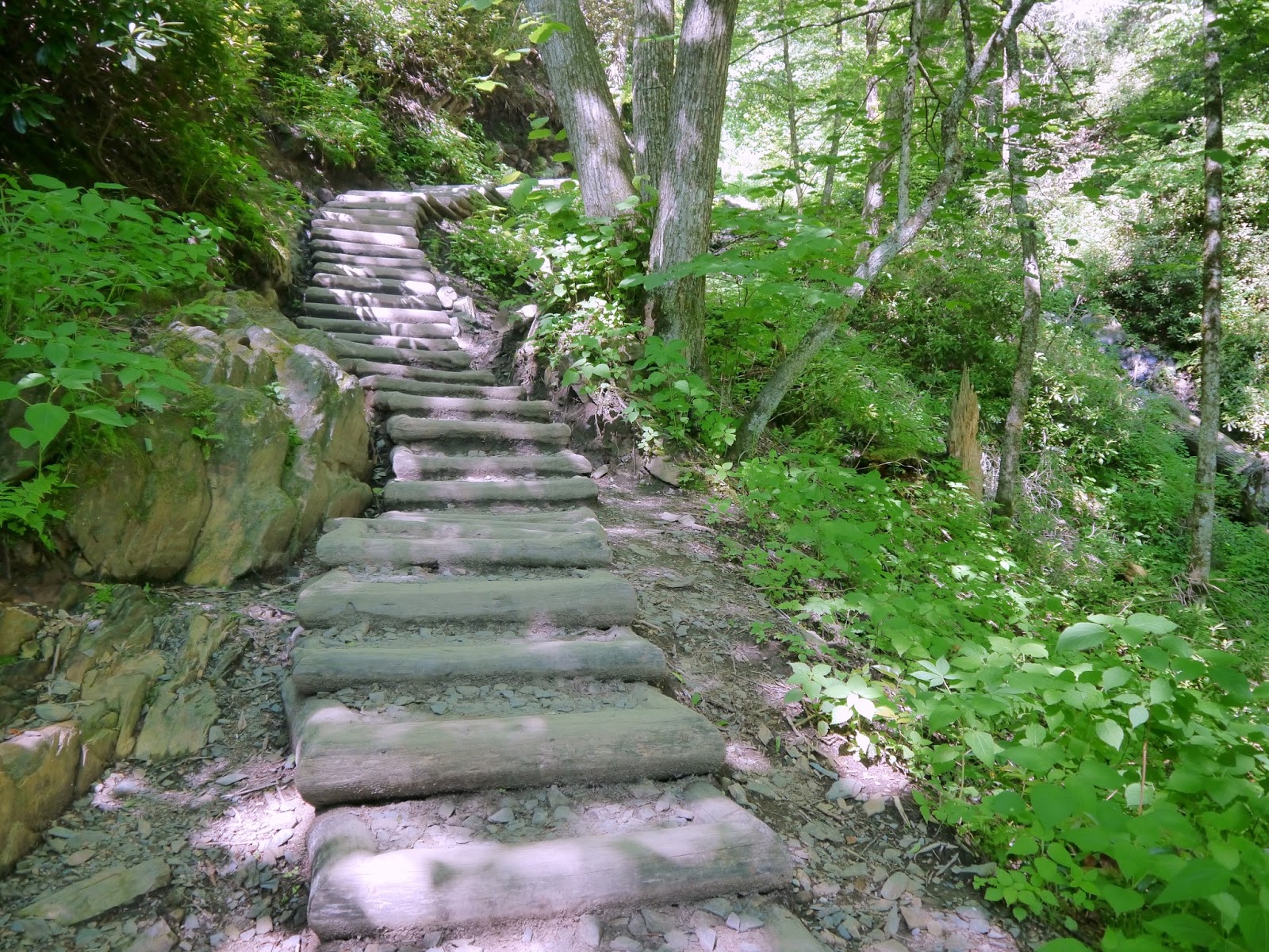
While the trail is only 2.0 miles one-way, it climbs about 1400 feet. Most of the second mile is at an average 17% grade. This is not an easy walk in the woods, nor is it a place of solitude. Other hikers are almost always in sight along the trail. The trail was rebuilt by a Trails Forever crew in 2013. Besides numerous wooden steps, there are beautifully crafted stone stairways on the trail that include hundreds of stone steps. The spacing and size of the stones are consistent enough to allow a hiker to develop a fairly steady cadence for each set of stairs. This is a marked improvement to the Andrews Bald Trail that was rehabilitated just prior to this trail. I only noticed one location where the trail surface was damp, but the water just passed through the gravel surface without any visible erosion.
At the end of the trail, a sign notes that a former route around the rock outcrop is closed for rehabilitation. This did not seem to register with several hikers who passed the sign without pausing. Several other climbers just sat in the shade and enjoyed a picnic. Like a few others, I climbed over halfway up the rock outcrop before deciding to turn back. I didn't see anyone climb to the top while I was there.
On the return trip, I met a couple of women and their large, black poodle coming up the trail. They claimed to have never heard of the park regulations allowing pets on leashes only on the Gatlinburg Trail and the Oconaluftee River Trail. Further down the trail, another hiker pointed out a yearling bear grazing across the valley from the trail. The bear continued eating its way deeper into the woods as we watched from a distance.
Topographic map with GPS route
Elevation Profile
Part of the full parking area at the trailhead
The trail begins with these stone steps
Walker Camp Prong bridge was rebuilt in 2013 after severe flooding


No comments:
Post a Comment