
In planning our early February 2013 trip, we decided to sign up for the ranger-guided Bike Hike from Long Pine Key. There is no additional fee for this activity beyond the $10 / 7-day entrance fee. The park provides bicycles, helmets, and water or you can bring your own. When we arrived, we found Ranger Leon would be our guide. We had met him the day before at the Ernest Coe Visitor Center where he provided some very useful tips on experiencing the park. The turnoff to the Long Pine Key picnic area and campground is about 4½ miles past the Visitor Center. Ranger Leon noted that everyone arrived early and commented that that rarely happens and that he often has to omit some of the details of his explanations in order to make-up time. The ranger began the trip with a safety message before we rode back up the road to the trailhead. The trail was actually a single lane road on bare ground. Often that meant the underlying limestone bedrock was the surface. This created a very bumpy ride if we traveled at a significant speed. The trip started at 9 AM and we were back around 11:30 after biking about 3.2 miles and walking about 250 yards.
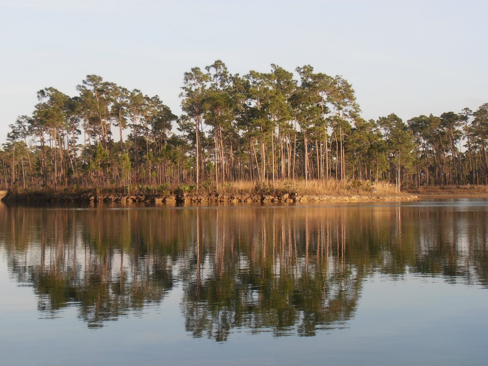 |
| Lake at Long Pine Key campground |
Ranger Leon talked about the need to understand the big picture of the Everglades before he scaled it down almost to the level of individual plants. The Everglades was called a “River of Grass” by Marjory Stoneman Douglas in her 1947 book of the same name. Starting at the shore of Lake Okeechobee, the river only drops about 14 feet over more than 100 miles on its way to Florida Bay. During the wet season, the river can expand to a width of 60 miles. Very small elevation changes of only inches to a couple of feet can make the difference between dominant species of pine, cypress, palm, or sawgrass in a particular location. During the dry season or winter in the rest of the country, the river narrows to a series of sloughs. This tends to concentrate the wildlife around any wet or damp depressions. The length of time each year that a particular area is underwater also determines the type of vegetation that dominates the area.
 |
| This limestone depression was full of water only a week before our visit |
People have been draining and altering the South Florida landscape for over 100 years, reducing the size of the Everglades to less than 30% of its previous area. All surface water flows outside the National Park areas are now managed by the South Florida Water Management District.
Long Pine Key is one of the higher areas that seldom floods, thus allowing a pine forest to develop. Heading down the trail, our elevation soon dropped enough to place us in a palm forest that included sable palm, silver palm and saw palmetto. Further along, we crossed a plain of sawgrass and stopped at a depression in the limestone that until only a week or so before had been an oasis for wildlife. We then crossed another ridge in this ridge and valley system before dropping down to another dry slough. Here we left the bikes on the road and followed a faint trail on foot to a willow hammock. Here we examined the elevation and the vegetation on an even smaller scale from Ranger Leon's original big picture.
 |
| Sawgrass yields to pine trees as the elevation rises |
 |
| Dead portion of saw palmetto shows extent of storm surge |
 |
| Saw palmetto and pine in the "highlands" |
 |
| Sawgrass and pine trees |
 |
| Willow hammock |
 |
| Wetland even in the dry season |
 |
| Other trees compete with the willows |
No comments:
Post a Comment