Ramblings and images of some of the wonderful places we've visited
Wednesday, February 17, 2016
Laurel Falls Trail - Great Smoky Mountains National Park
The hike to Laurel Falls is one of the most popular in Great Smoky Mountains National Park. The trailhead is located 3.5 miles from Sugarlands Visitor Center and 13.7 miles from the Townsend Wye at Fighting Creek Gap. The road between Sugarlands and the Townsend Wye is designated by the US Geological Survey as Fighting Creek Gap Road between Sugarlands and Elkmont and then labeled as Little River Gorge Road between Elkmont and the Townsend Wye. The National Park Service lists the entire route as Little River Road. Parking areas on both sides of the road are marked for a total of 29 vehicles. These spaces fill up quickly, especially on weekends and during the summer season.
The 2.6 mile round-trip trail to the waterfall is paved, but it is not suitable for mobility devices, wheelchairs or most strollers due to what the park service calls "rough and uneven" pavement. In addition, the trail climbs over 300 feet from the trailhead to the falls. This is the longest of only four paved trails in the park. The others are Clingmans Dome (½ mile), Sugarlands Valley Nature Trail (½ mile), and Look Rock Tower Trail (1 mile). Thus, only about 3.3 miles of the 800 trail miles in the Smokies are paved.
The waterfall is about 80 feet high in two tiers with the trail normally passing over Laurel Branch between the upper and lower tiers on a concrete path over several culverts. Since I hiked the trail in early December 2015, after several days of heavy rains, the branch flowed over the trail as well as under it. Even though I hiked during the week in late fall, I met about two dozen people on the trail.
Trailhead
Trail passes rhododendron
Once the foilage is gone, the turns and climbs of the trail are more visible
A view back down the trail
This tree seems to grow out of the rock
Pine Knot Branch was flowing under and across the trail
Blanket Mountain (4609')
Clouds covering the mountain peaks
The trail traverses a steep side slope
Roots in rocks
Another view of Blanket Mountain
Water on the trail...
...from this seep or wet weather spring
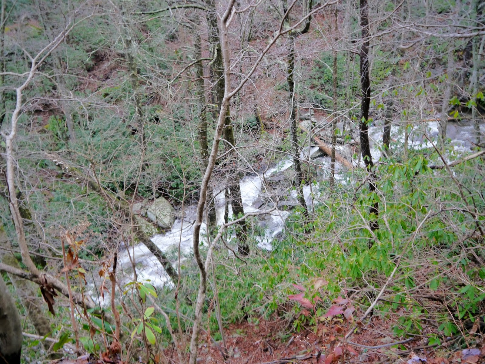
Laurel Branch
The trail follows a rock ledge as it approaches the falls
Lower tier of the falls
Water pours over the bridge at the base of the upper tier
The lip of the lower tier
Another view of the lower tier
Lower tier crashing on the rocks
Laurel Branch at the base of the falls
Downed trees wedged in the creekbed
Entry to Great Smoky Mountains National Park is free.


Here was our experience at Laurel Falls in February 2011: http://travelbug-susan.blogspot.com/2011/02/four-waterfalls-in-great-smoky-mountain.html
ReplyDelete