Showing posts with label Civil War. Show all posts

Tuesday, November 23, 2021

Fort Sumter - Fort Sumter and Fort Moultrie National Historical Park


Construction of Fort Sumter began in 1829, but it was still a work in progress when the American Civil war started. Although the exterior wall was complete and stood about 50 feet high, much of the interior was incomplete including gun placements.

Early on the morning of April 12, 1861, the first shots of the Civil War were fired from Fort Johnson toward Fort Sumter at the entrance to Charleston Harbor. The South Carolina militia barrage lasted for 34 hours before US Major Robert Anderson agreed to evacuate, not surrender, the fort.

It was almost two years later on April 7, 1863 when the Union amassed a small fleet and unsuccessfully attempted to take Charleston Harbor. In early September 1863, the Union launched a disastrous attempt to retake the fort. From then until the end of the war, Union guns continued to pummel the fort sporadically thus reducing its height by about half. After the war, the ruins of the fort served as an unmanned lighthouse station until 1897. In response to the Spanish-American War, a concrete blockhouse was built in 1898 and named Battery Huger. The battery was deactivated in 1947 and the fort was transferred to the National Park Service in 1948.

Fort Sumter Tours, a National Park Service concessionaire, operates boats from Liberty Square to Fort Sumter and from Patriots Point to Fort Sumter. Visitors will spend approximately one hour at the fort before heading back to the boat. An Adult ticket for the tour is $30.

I visited the fort on a foggy day during our February 2021 visit to Charleston.

Castle Pinckney through the fog

Approaching Fort Sumter

At the dock
Entry platform

Ruins of the fort from atop Battery Huger

Parade grounds and dock

View through the open sallyport amidst the casemates

Mountain Howitzer

Some of the New England granite used as a foundation for the fort

Cosmetically restored cannon mounted in its casemate

Another view

View down the gallery

An example of a howitzer

Unrestored cannon

Tight quarters between Battery Huger and the casemates

The ruins from the Civil War were never rebuilt

The gallery and most of the casemates in this area were destroyed leaving only the embrasures

Detail of a destroyed casemate

The north face of Battery Huger

10-inch Mortar

Battery Huger

Ruins of barracks and storage rooms

Rock used as a breakwater to stabilize the fort foundation

Visitor Center

Admission to Fort Sumter is free. However, a fee is charged by the concessionaire operating the ferry from the visitor center at Liberty Square or Patriots Point to Fort Sumter.

The park website is https://nps.gov/fosu/index.htm.

Monday, November 22, 2021

Fort Moultrie - Fort Sumter and Fort Moultrie National Historical Park


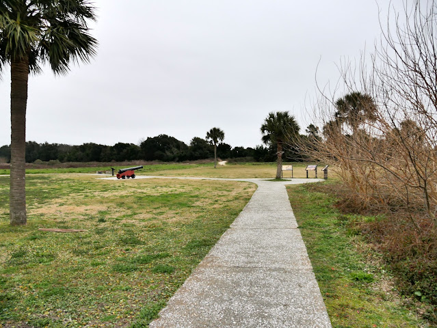
Our trip to Charleston continued with a stop at Fort Moultrie on Sullivan's Island. The fort is the third on the site since 1776 built to defend the harbor of Charleston.  At the beginning of the Spanish-American War in 1898, two modern concrete bunkhouse structures, Battery Bingham and Battery McCorkle were quickly constructed inside Fort Moultrie. Battery Jasper was constructed just east of the fort. The army ceased operations at the fort in 1947 and turned it over to the National Park Service in 1960. At the time of our visit in February 2021, the interior of the fort was closed for renovations and the visitor center across the street was closed due to the COVID-19 pandemic.

Visitor entrance

A glimpse inside

Visitor center from the fort

A wheelchair accessible ramp avoids these stairs

Picnic table near the visitor center parking lot

A buoyant mine

Park headquarters was formerly the torpedo storehouse

Masonry exterior north wall of the fort

Visitor tour entrance when the fort is open

Slanted west exterior wall

Mouth of Charleston Harbor

Fort Sumter

Cannon visible above the fort wall

Southeast side of the fort

Another cannon

A sidewalk instead of a trail

Revolutionary War era cannon

An observation post for Battery Bingham and Battery McCorkle

A former entryway has been bricked up

An entry fee of $10 for a seven-day adult pass is collected at Fort Moultrie. Credit or debit cards are accepted, cash is not accepted at this location. Interagency America the Beautiful passes are also accepted.

Wednesday, March 8, 2017

Cheatham Hill - Kennesaw Mountain National Battlefield Park


The final stop on my late September 2016 visit to Kennesaw Mountain National Battlefield Park was Cheatham Hill. The hill is named after Major General Frank Cheatham, the commanding officer of the Confederate troops defending this portion of the line that extended about a mile southeast and four miles north past Pigeon Hill and Little Kennesaw Mountain to Kennesaw Mountain and beyond. Because the line was so long, Major General William T Sherman assumed that it was thinly defended. The Confederate line made a sharp turn at Cheatham Hill, leaving a protruding point or salient on the hill. This was one of the locations Sherman chose for a frontal assault on June 27, 1864. After a heavy artillery barrage, three brigades of Union forces commanded by Brigadier General John Newton crossed a small creek, a marsh, and then woods so dense they couldn't see the Confederate works. Others crossed an open wheat field and then began climbing the hill. They were met by entrenched Tennesseans commanded by Brigadier General George Maney. The Confederates fired so often that their gun barrels were too hot to hold. By 10 o'clock the attack was over. A National Park Service brochure from 1959 states "Sherman lost 1,580 out of 8,000 men, while the Confederates lost 206 out of 8,000."

Earthworks concealing Confederate artillery

Cannons like those used in the battle

Cannon visible behind the earthworks

After over 150 years, the trenches are still visible

Commemorative marker for First Sargent C. H. Coffey of the 22nd Indiana Volunteer Infantry

More earthworks along the trail

The Dead Angle

Former wheat field below the Dead Angle

Remains of the tunnel the Union forces tried to dig under the Confederate breastworks

Illinois Monument

Less than 50 feet from the Dead Angle

Further along the trail is this grave of an unknown US soldier

Entry to the park is free.

The park website is https://www.nps.gov/kemo.