Winslow, Arizona is one of many small towns along Route 66 that were bypassed when Interstate 40 was constructed. However, Winslow was mentioned by "The Eagles" on their first single "Take It Easy" in 1972. The lyrics were written by Jackson Browne and Glenn Fery. The second verse of the song mentions the town:
Well, I'm a standin' on a corner in Winslow, Arizona
It's such a fine sight to see
It's a girl my Lord in a flat-bed Ford
Slowin' down to take a look at me
As one of the efforts to revitalize the town and encourage travelers to exit the highway, volunteers put together a plan for a downtown park that would focus on the song. The park opened in September 1999 after over two years of planning and construction. In 2007, a fire destroyed the building that held the two story mural backdrop of the park. However, the exterior wall containing the mural was the only portion of the building that remained standing.
 |
| Giant Route 66 shield in the intersection of Second Street and Kinsley Avenue |
 |
| Mural by John Pugh |
 |
| Statue by Ron Adamson |
 |
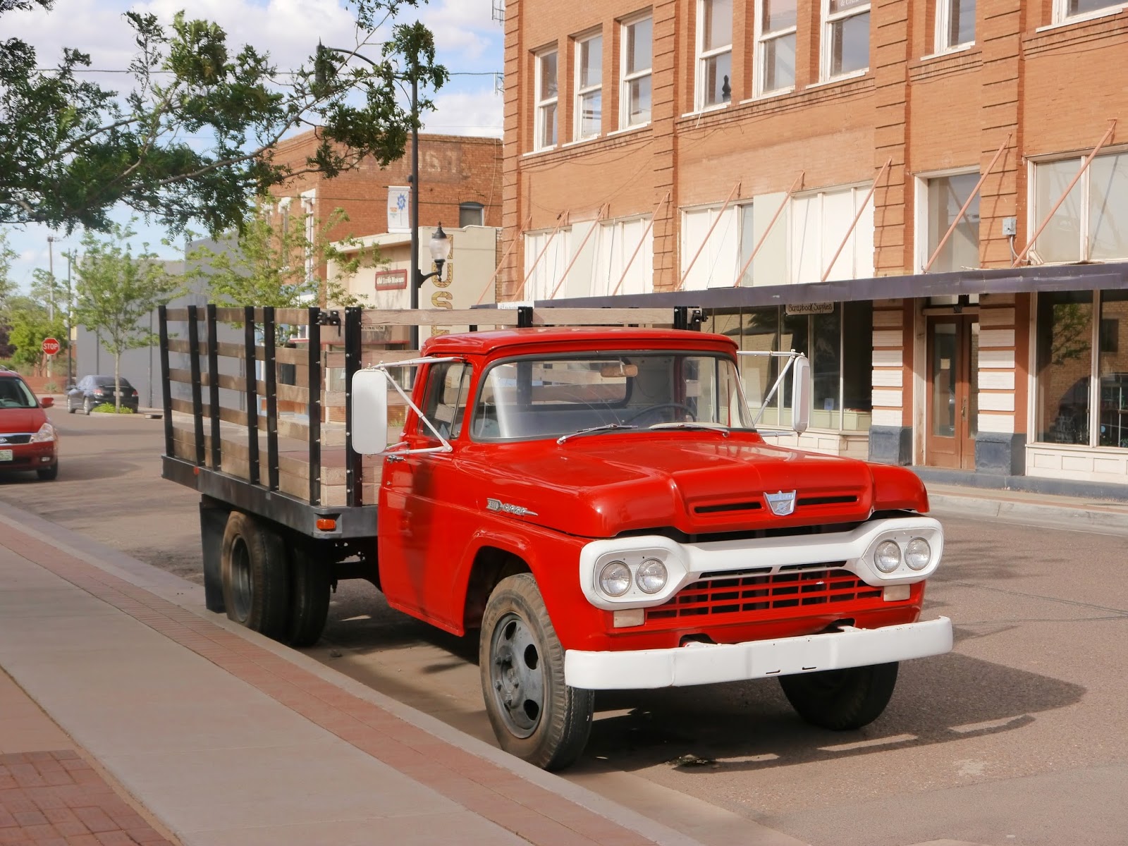
| Flatbed (with stake sides) by Ford |
 |
| Sidewalk bench and planters |
 |
| The smaller of two souvenir shops on the corner |
 |
| The larger souvenir shop stretches an entire block |
The sidewalk along Kinsley Avenue contains hundreds of commemorative donor bricks that were and are used to pay for at least park of the construction and maintenance of the park. As I glanced down at the sidewalk, one brick in particular stood out from the others. It offers a heartfelt "Thank You" to a Congressional Medal of Honor recipient and United States Marine Corps veteran of the Vietnam War. It is a great reminder that the freedom that I have to travel and share my pictures and thoughts with you was purchased on many battlefields by countless veterans like Colonel Vargas. Thank you!
 |
| Donor brick thanking Colonel Jay R Vargas, USMC |
The Congressional medal of Honor citation for Colonel (then Captain) Jay R. Vargas is at
http://www.cmohs.org/recipient-detail/3434/vargas-jay-r.php.
The park website is
http://standinonthecorner.com/.