Showing posts with label Rails-to-Trails. Show all posts

Thursday, March 5, 2015

Chief Ladiga Trail - Day 2: Piedmont to Anniston


We rode the remaining 19 miles of the Chief Ladiga Trail on the fourth overall day of riding from Atlanta in November 2014. While the eastern portion of the trail is a grade through mountains, the western portion is nearly level through fields and almost always closely followed by major highways. This portion of the trail also bisects the campus of Jacksonville State University, including on sidewalks around the fraternity houses on Village Street.

Eubanks House - The Piedmont Welcome Center

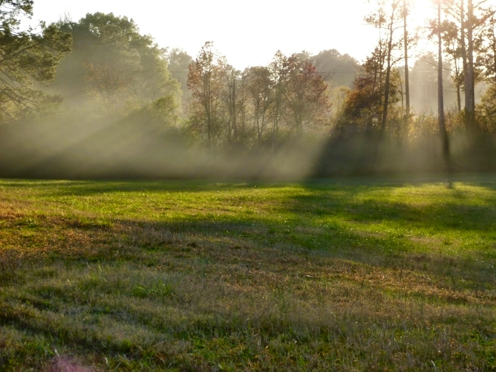
A single tree guards the fields near Alabama 21

Flat and straight

Remnant foundations of an old railroad facility, possibly a coal tipple

A couple of the bridges over Tallasseehatchee Creek

Jacksonville provides a local mileage chart

The slow moving Tallasseehatchee Creek

A turtle sunning on a stump in Tallasseehatchee Creek

A dammed portion of Tallasseehatchee Creek

A typical signpost along the trail

The Jacksonville Train Depot is immediately south of JSU

Another view of the Depot

Less than a mile separates the end of Jacksonville from the beginning of Weaver along the trail

The reverse of this sign is another Welcome to Weaver

Only about the final 1/4 mile of the trail is in Anniston

Hopefully not the permanent end of the trail

A small park and gazebo are located at the end

Use of the Chief Ladiga Trail is free. Parking at designated trailheads is also free.

A useful trail website is http://www.chiefladigatrail.com/.

Wednesday, March 4, 2015

Chief Ladiga Trail - Day 1: Georgia State Line to Piedmont


Our November 2014 bicycle riding continued as the Silver Comet Trail of Georgia met the Chief Ladiga Trail of Alabama. The Chief Ladiga Trail is 32.7 miles of asphalt paved trail suitable for any non-motorized activities. Construction began in 1990 and was completed in 2007.

After having biked 10 miles from Cedartown, Georgia, we only biked another 13.7 miles to the Eubanks Welcome Center in Piedmont, Alabama to complete day three.

Pavilion near the state line

The trail climbs about 40 feet before topping out at a cut through the side of  Wheeler Hill

Some autumn colors still remained into mid-November


Sunlight filters through the late afternoon fog near Warner Swamp

Reflections

Trail bridge over Warner Swamp

It is easy to pick up speed on the straight downhill run to Borden Springs

The trail blazes through the northern end of the Talladega National Forest

The first of several encounters with Terrapin Creek

Another crossing of Terrapin Creek

Reflections in an old farm pond

Sunset skies over Wolf Ridge

Bridge over Nances Creek on the outskirts of Piedmont

Late afternoon arrival in Piedmont

Use of the Chief Ladiga Trail is free. Parking at designated trailheads is also free.

A useful trail website is http://www.chiefladigatrail.com/.

Tuesday, March 3, 2015

Silver Comet Trail - Day 3: Cedartown to Alabama State Line


Our third day on the Silver Comet Trail in November 2014 was a short ten miles that began in downtown Cedartown and ended at the Alabama state line. The trail follows some sidewalks and streets for a few blocks through part of Cedartown before regaining its own right of way. While most of this section of the trail is relatively flat, there is a helix to climb just after passing under US 278 and before crossing over the misnamed Dry Creek. The trail follows US 278 for nearly a mile of fairly gentle undulations before accessing the old railroad right of way.

Parking lot side of replica depot

Picnic area

The station has a complete set of bike related tools and air available

Trail bridge over Dry Creek

Rolling hills along US 278

Trail back on the right of way outside of town

Bridge over a drainage ditch

Rest area for getting out of the weather

Fields and forests along the trail

Flat and straight

Bridge over an unnamed creek

Last trailhead on the Silver Comet

The Silver Comet Trail ends as the Chief Ladiga Trail begins

Use of the Silver Comet Trail is free. Parking at designated trailheads is also free.

The trail website is http://www.silvercometga.com/.

Monday, March 2, 2015

Silver Comet Trail - Day 2: Rambo Nursery to Grady Road


Continuing our November 2014 bicycle ride on the Silver Comet Trail, we road 23.2 miles from Rambo Nursery to Grady Road. The route through Rockmart deviates from the still active railroad track and instead follows Simpson Creek through downtown, then turns northwest and climbs a hill before following a road in Rose Hill Cemetery. From there, the trail drops back down to skirt the edge of a major sports complex in town and then heads west through a wetland area. The trail then makes a steep ascent to follow US 278 for nearly three miles in an undulating profile that contains grades much steeper than a typical rail trail. The trail then follows the edge of a pasture back to the old railroad right of way and continues about 3.5 miles to Grady Road. We chose not to bike the section from Grady Road to the replica train station in Cedartown as the trail again deviates from the old right of way and heads directly west with a grade of about 8% before topping the first of three hills. After about 1.5 miles, the trail again follows the abandoned right of way, but there are no designated trail heads or parking areas for the 5.4 trail miles between Grady Road and the Cedartown depot.

Maple leaves in November

The 750 feet long Pumpkinvine Creek trestle

The trestle is 126 feet above Pumpkinvine Creek

Another view of the trestle that was built in 1901

Trestle shadow on Pumpkinvine Creek

Waves of clouds

Autumn colors along the trail

Brushy Mountain tunnel

Although photographs show there were directional signs in the past, we did not find them as we approached Hutchins Mountain Road. The trail seems to rise up the road, but it does not continue on the other side. A turn to the left just before the fence will keep you on the trail and provide nice views of the confluence of Thompson and Simpson Creeks.  This is where the trail veers away from the still active section of the railroad and follows Simpson Creek through Rockmart.

Approaching Hutchins Mountain Road

Confluence of Thompson and Simpson Creeks


Simpson Creek and the trail pass under Hutchins Mountain Road (South Marble Street)

Trees in Rockmart

Creekside in Rockmart

Trail bridge over Simpson Creek in Rockmart

Looking back at the climb up to highway 278

It wasn't this steep, but it felt like it was

The trail follows along US 278 for a bit before it descends to pass under Cedartown Highway

Steep descent on one side and steep climb on the other

Looking back at Cedertown Highway

The trail is sandwiched between the highway and the railroad, but doesn't follow the grade of either

The trail seems to follow the lay of the land in this section

A twisting boardwalk crosses a wetland area on a feeder to Fish Creek

Use of the Silver Comet Trail is free. Parking at designated trailheads is also free.

The trail website is http://www.silvercometga.com/.