
Together, the Honoapiilani and Kahekili Highways circumscribe the eroded remains of the Mauna Kahalawai shield volcano, more commonly called the West Maui Mountains. All of the Honoapiilani Highway is marked as state route 30. The county maintained portion of the Kahekili Highway, marked as route 340, is mostly a single-lane route on the east side of West Maui. While we didn't drive the single-lane portion of the Kahekili Highway, we did drive as far as the overlook above Kahakuloa Bay.
We followed the Honoapiilani Highway along the coast as it passed through Ma'alaea, Lahaina and Ka'anapali. The route then turns inland to pass around Kapalua before returning to the northern coast at Honokahua Bay. As the highway returns to the coast, the speed limit drops to 25 miles per hour and the real scenic part of the route begins.
 |
| The rocky southwestern end of Honolua Bay |
 |
| Waves crash on the point between Makuleia Bay and Honolua Bay |
 |
| A wave crashes into the rocky shore of Honolua Bay... |
 |
| ...sending sea spray high in the air |
 |
| Surfers in Honolua Bay |
 |
| Punalau |
 |
| The surf at Punalau Beach |
 |
| Punalau Beach |
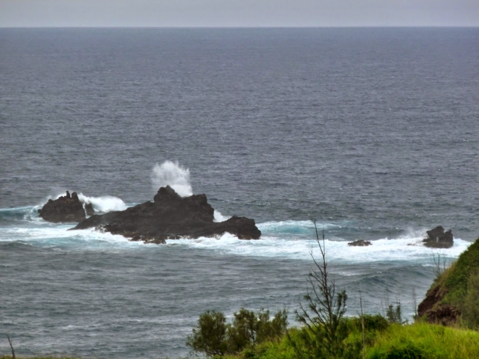 |
| Waves crash against the offshore rocks east of Honokohau Bay |
 |
| Honoapiilani Highway above Honokohau Bay |
 |
| Driftwood dots the crescent beach of Honokohau Bay |
 |
| The rugged coast east of Honokohau Bay |
 |
| Nakalele Blowhole |
 |
| Nakalele Blowhole in action |
 |
| Poelua Bay from Papanalahoa Point on the Ohai Trail |
 |
| Nakalele Blowhole from Papanalahoa Point |
 |
| Water drains off of the exposed shoreline rocks |
 |
| A wave crashes over a small islet |
 |
| Rugged West Maui coastline |
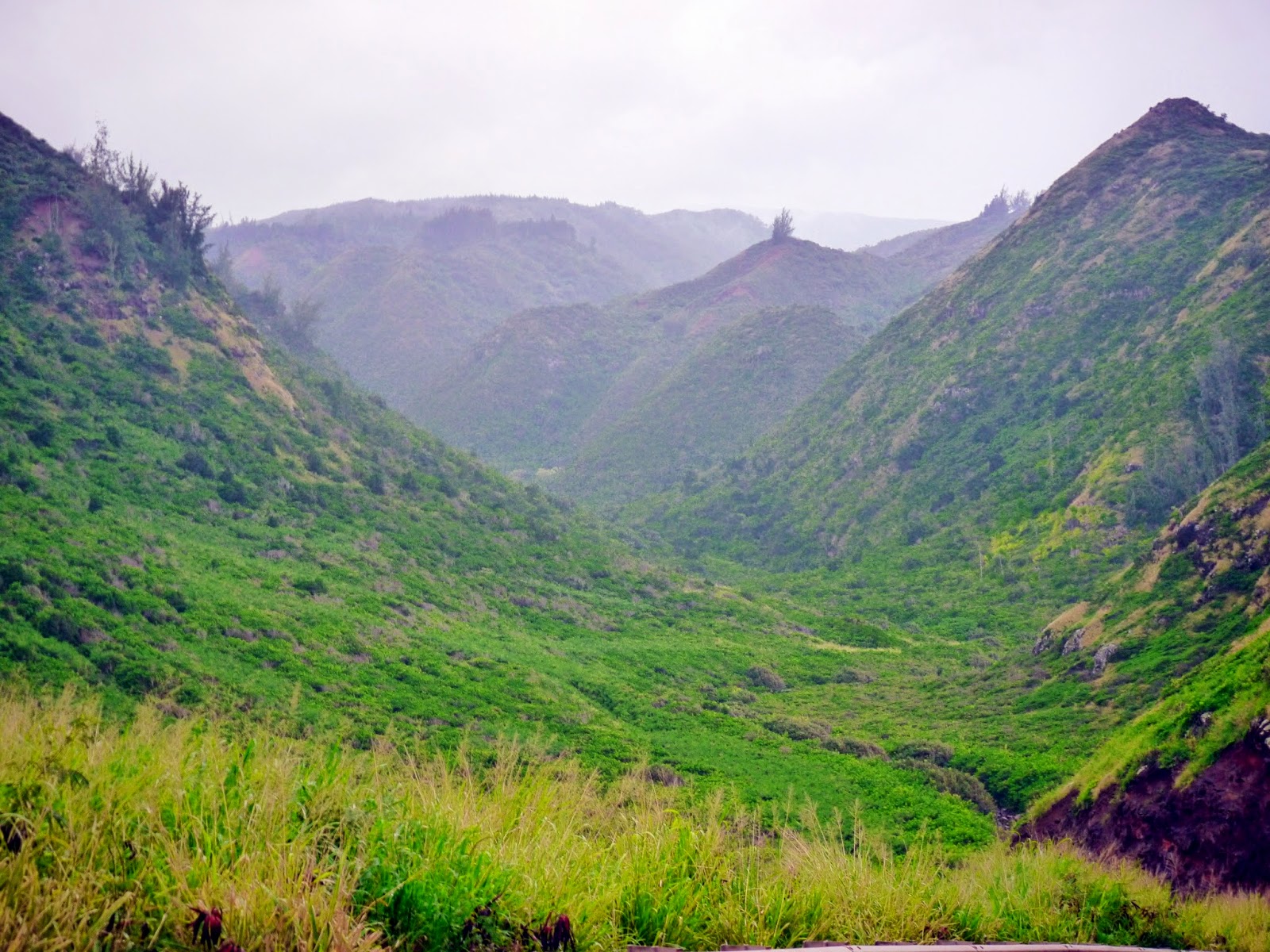 |
| Awalau Gulch |
 |
| Kahakuloa coast |
 |
| 636 foot high Kahakuloa Head |
There is no website for the Honoapiilani Highway.
Love these photos! The Ohail trail and lookout are among my favorites there: https://lookintohawaii.com/hawaii/31915/ohai-trail-poelua-bay-activities-maui-wailuku-hi
ReplyDeleteThanks, Matt!
Delete