
Just over eight miles from the Ha'iku end of Route 360 is the Makanali bridge. Of the 42 one-lane bridges, there is nothing particularly noteworthy about it other than it has a small pull-out at both ends and typically spectacular views of the surrounding countryside. This concrete span was built in 1928 and is 16 feet wide. We stopped during our February 2014 visit simply because we could park safely off the road and enjoy the view. What we found just upstream of the bridge was the Center Ditch, part of the network of irrigation ditches and tunnels carved through the mountains to provide water for the sugar cane plantations.
 |
| Makanali Bridge |
 |
| Vegetation on the rock cut above the highway |
 |
| Irrigation water flowing out of a tunnel on the Center Ditch |
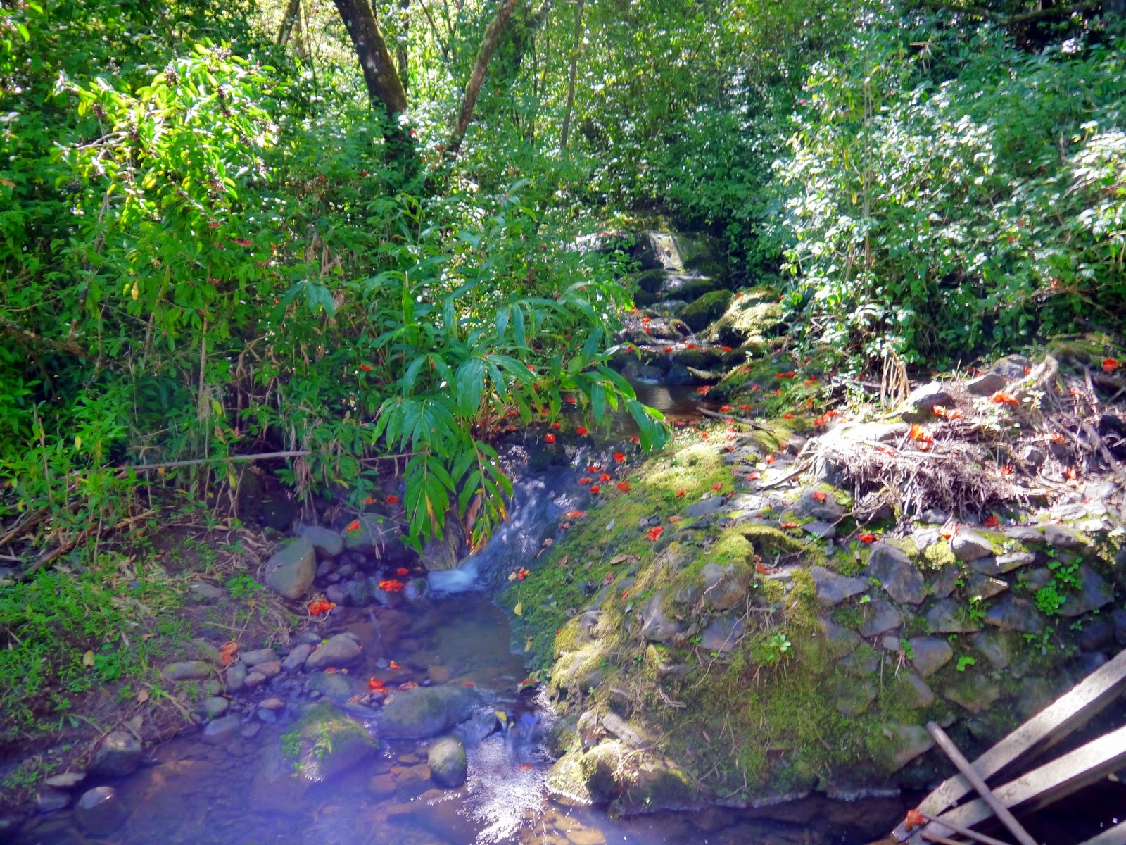 |
| Makanali stream at Center Ditch |
 |
| Makanali upstream of the irrigation project |
 |
| Trash rack keeps debris from entering the Center Ditch |
 |
| Irrigation water flows into a tunnel on the Center Ditch |
 |
| Makanali Gulch below the bridge |
There is no website for the Hāna Highway.
No comments:
Post a Comment