Ramblings and images of some of the wonderful places we've visited
Tuesday, March 15, 2016
Big Creek Trail to Carriage Bridge - Great Smoky Mountains National Park
Besides the three main entrances to Great Smoky Mountains National Park at Gatlinburg and Townsend, Tennessee and Cherokee, North Carolina, there are over a dozen other entrances to the park. One of these is Big Creek on the northeast edge of the park. While its drainage basin lies entirely within North Carolina, Big Creek flows north into the Pigeon River at the border between North Carolina and Tennessee.
Access to Big Creek is via Interstate 40 exit 451 in Tennessee. After exiting the Interstate highway, cross the Pigeon River and follow the paved road upstream for about one mile to the North Carolina state line. Here commercial whitewater rafting companies launch their rafts just below the Walters hydroelectric plant. The road turns right at this point and follows Big Creek upstream for another mile, crossing the creek twice on one-lane bridges. At the stop sign, continue straight into the park on a narrow gravel road. In a mile, the road ends in a parking area for about two dozen vehicles. The total distance from the Pigeon River bridge is three miles. The area also includes a tent campground with a dozen sites, a picnic area, restroom facilities and drinking water. Except for the hiking trails, all of the facilities were still closed when we hiked in early March 2016.
During the early 1900s, the Big Creek area was heavily logged. Since boulders in the creek kept loggers from floating timber down to the Pigeon River, a lumber railroad was built from the Pigeon River over eight miles up to Walnut Bottom. Utilizing the old railroad grade, Big Creek Trail was developed by the Civilian Conservation Corps in the 1930s. Their work created a gravel lane with a nearly continuous grade of just over 5%. The first mile of the trail only provides occasional glimpses of the creek from high above it. After the first mile, the trail closely follows the creek up the valley. Midnight Hole, a deep green pool below a six-foot waterfall, is 1.5 miles up the trail and Mouse Creek Falls is 2.0 miles from the trailhead. We hiked to the carriage bridge and back for a 4.6 mile round trip.
GPS route on topographic map
Elevation profile
The large parking area is also for campers and picnickers in season
Climbing from the trailhead up to the old railroad roadbed
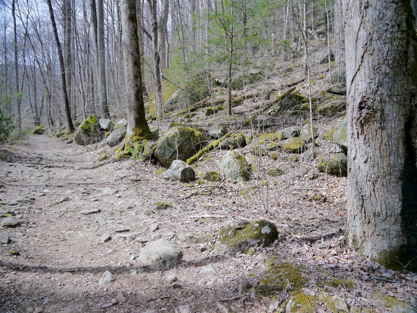
Typical trail conditions
View of Big Creek from the trail
Downed trees have been cleared from the lower part of the trail
The trail remains high above Big Creek for nearly a mile
Views like this will be eliminated with the spring foilage
Trees were down across the trail in several locations
Another tree across the trail
Beside the creek at last
The creek has been smoothing boulders for ages
Looking downstream
Large boulders litter the creek...
...and the hillside
Runoff flows down the trail
Views of the creek are often framed in rhododendron
Another view of Big Creek
A picturesque trailside drainage
More water on the trail
A small waterfall
Clear water below the falls
Midnight Hole
Boulders mark the downstream edge of Midnight Hole
Whitewater above Midnight Hole
Big Creek flows through a boulder field
A water chute on the creek
A pair of corduroy bridges on the trail
A canopy of rhododendron provided welcome shade
The stream turns sideways toward the trail
Water cascades off a flat rock
Hitching rail on left side of trail at 2.0 miles
Forty-five foot high Mouse Creek Falls
Mouse Creek Falls from stream-side
View upstream of Big Creek above the mouth of Mouse Creek
Mouse Creek flowing into Big Creek
View downstream below the confluence of Mouse Creek
A final view of Mouse Creek Falls
More whitewater on Big Creek above the Mouse Creek confluence
Carriage bridge at 2.3 miles from the trailhead
Looking upstream from the bridge
View from our turnaround spot on the far side of the bridge
Entry to Great Smoky Mountains National Park is free.


Thanks! I love it up there.
ReplyDeleteThanks! I love it up there.
ReplyDelete