
I hiked to the Devil's Racetrack above Caryville in late June, 2013. The Devil's Racetrack is the name of the vertical rock fins visible on the east side of Interstate 75 heading north from Caryville. This is the southern terminus of Cumberland Mountain. The overlook atop one of the fins is 3.3 miles from the trail head and about 850 feet higher in elevation. Even though I was hiking on a beautiful Saturday morning with temperatures in the upper 70s to low 80s, the parking lot was empty when I arrived and I did not see another person during my entire trip. However, the sounds of the freeway were a constant companion. The trail is one small section of the Cumberland Trail that will stretch almost 300 miles from Cumberland Gap in the north to the Tennessee River Gorge in the south. The trail head is located on Bruce Gap Road just a few hundred yards north of its intersection with Royal Blue Road, also known as Old Tennessee 63. The trail is not heavily used, so plants have grown up along it in several places. Due to the number of poisonous plants along the trail, I recommend wearing long pants even in the heat of summer. For the same reason, this is not a trail for small children during the active season for such plants. I found that a pair of walking sticks were very useful on this hike. They were pressed into cobweb removal duty in addition to normal use.
For a shorter hike of around three miles round trip, there is one additional unofficial trail access point along dead end Shelton Hollow Road. Parking is limited and muddy. The road is not patrolled by park rangers and has been occasionally used as a garbage dump. Do not leave any valuables in your vehicle at either location as numerous break-ins have been reported over the years.
 |
| Trail map |
 |
| Trail profile |
 |
| Empty parking lot |
 |
| The initial trail is wide and level |
 |
| The informative trail head kiosk was well maintained |
 |
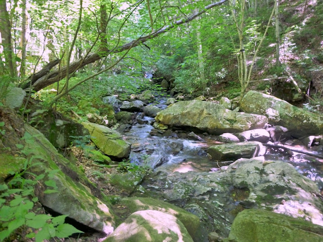
| A side trail at the kiosk leads to Cove Creek |
 |
| The view downstream |
 |
| After 0.1 miles, the access trail meets the Cumberland Trail |
 |
| Trail sign at the junction |
 |
| The wide level trail immediately becomes a steep path |
 |
| Downed trees provide a view to the west |
 |
| This was the only downed tree that required a duck under approach |
 |
| Storms have uprooted several trees |
 |
| The trail crosses a power line right of way |
 |
| A single daisy grows alongside the trail |
 |
| Another tree across the trail |
 |
| Looking up the ravine to the freeway |
 |
| The first of many, many boulders |
 |
| A thirty-five foot bridge spans a deep ravine |
 |
| Looking up the ravine toward a freeway drainage culvert |
 |
| Looking back at the bridge from the trail |
 |
| A short section of relatively flat trail |
 |
| This ladder allows hikers to easily cross the boundary fence |
 |
| Saplings and vines have encased the trail |
 |
| Blue sky seen through a small hole in the canopy |
 |
| The trail winds through a boulder field |
 |
| This boulder field is man-made to stabilize the interstate embankment |
 |
| The riprap provides a larger hole in the canopy |
 |
| The second riprap crossing isn't as well defined |
 |
| Bruce Creek was rerouted during construction of the freeway |
 |
| Bruce Creek Falls |
 |
| Approaching the bridge over Bruce Creek |
 |
| The bridge is passable, but needs some repairs |
 |
| After crossing the creek, the trail climbs at an average 10% grade |
 |
| Eastern box turtle on the trail |
 |
| There are numerous switchbacks on this section |
 |
| Flatter sections are interspersed with rock or timber steps |
 |
| At the top of the climb, turn right along this side trail |
 |
| The side trail follows the ridge |
 |
| Wide-angle view toward the south from atop Devil's Racetrack |
 |
| Caryville, Cove Lake and Interstate 75 |
 |
| A closer view of Cove Lake and Interstate 75 |
 |
| Interstate 75 through Bruce Gap |
 |
| Jacksboro |
 |
| Caryville Elementary School |
The park website is http://tnstateparks.com/parks/about/cumberland-trail.
The Cumberland Trail Conference website is http://www.cumberlandtrail.org/.
No comments:
Post a Comment