Wednesday, April 30, 2014

Commuter Flight - Kahului to Kona


Our February 2014 visit to Hawaii continued with a short commuter flight from Kahului (OGG) on Maui to Kona (KOA) on the island of Hawaii also known as the Big Island.  In order to maximize our sightseeing time, we chose to fly after dark.  We flew on a ten passenger Cessna Grand Caravan single-engine turboprop operated by Mokulele Airlines.  This flight was operated out of the commuter terminal and not the main passenger terminal.  This was by far the best flight of our trip even though we flew through a rain storm.  Since the seating arrangement is one by one for each of the first four rows, everyone gets both a window and an aisle seat.  The seats are oversized and included an automotive type lap and shoulder belt that was to remain belted during the entire flight.  There were some unique differences for this flight, namely no flight attendant and no rest room facilities.  However, the co-pilot explained all of the safety information from his cockpit seat.  Electronic devices did not have to be turned off and stowed.  Since the plane would not be flying over 10,000 feet, an emergency oxygen system was not required to be installed on the aircraft.  Additionally, we did not have to go through the TSA baggage and physical screening requirements, but we did have to step on the scales with our carry-on luggage so the crew could balance the plane properly.  The ground and air crews were both courteous and helpful.  Instead of boarding by zones, our names were called as we lined up to walk out to the plane.  The ground crew weighed the luggage and loaded it on the plane.  We picked up our luggage plane-side instead.  Finally, the flight was only about 45 minutes including a lazy circle while waiting for turbulence to clear after a jet made its approach and landing.  Our cruising speed was just over 160 mph.  The rental car company vans dropped us off about fifty feet from the gate in Kahului and picked us up about 100 yards from the gate at Kona.


Flight route

After missing a day on Maui due to airline ineptitude in getting our incoming flight to the gate and thus missing our connection in Chicago, Mokulele Airlines definitely put the enjoyment and wonder back in flying for us.  If we find ourselves in the future needing to hop from one island to another in Hawaii, Mokulele will be at the top of our list.

The website for Mokulele Airlines is http://www.mokuleleairlines.com/.

Tuesday, April 29, 2014

Makena Road - Maui


Our last adventure during our February 2014 visit to Maui was to drive south from Kihei to the end of Makena Road at La Perouse Bay.  Compared to the Hana or Honoapiilani Highways, this was much shorter and much tamer.  There are no seaside cliffs nor any blind curves along this route.  However, we saw some amazing sights just like on our other drives.  Our first stop was at Big Beach in Mākena State Park.  At over ½ mile long and over 60 yards wide, this is one of the longest and widest sandy beaches in Maui.  Mongooses seem to thrive in the park, but were far to fast for me to photograph.  Portable toilets are located near the parking areas.


Molokini

Big Beach and the West Maui Mountains

Seven miles across the ʻAlalākeiki Channel is Kaho'olawe

Natural windbreak behind Big Beach

Looking south toward Nukuele Point

The park also contains a coastal forest

Clouds roll down from Haleakalā

After leaving the park, the road narrows and passes through a small community.  Most of the properties have stone walls facing the road that create very few opportunities for meeting another vehicle.  South of there, the road hugs the coast and provides access to tide pools in the lava rock.

Very small waves break on the lava shore

A tide pool with Kaho'olawe on the horizon

Trees provide some shade on the sand

Turquoise water turns purple on the horizon

Kaho'olawe stands over some of the newest land in Maui

Lava field with Molokini and the West Maui Mountains

Ahihi Bay and Nukuele Point

Tidal pool on Ahihi Bay

Tidal pool with Kaho'olawe and Molokini

Continuing down the road, we drove through the ʻĀhihi-Kīnaʻu Natural Area Reserve.  This 2,000 acre reserve (40% ocean) was established in 1973.  It includes a lava field from the last volcanic eruption on Maui as well as many cultural and geologic sites.  It is also the habitat for several rare and endangered species.  In order to preserve the fragile habitat and delay the introduction of non-native species to the area, large areas of the reserve are closed to the public.


Reserve sign with surface routed water main

Lava field below Haleakalā

Cinder cones and more lava

The road ends just beyond the stables at a ranch gate south of the ʻĀhihi-Kīnaʻu Natural Area Reserve. A short gravel drive leads to a large parking area at La Perouse Bay.  Portable toilets are positioned at the edge of the parking area.


Gravel drive at end of Makena Road

View from the parking area

La Perouse Bay

Cape Hanamanioa

1766 foot Pimoe cinder cone

There is no website for Makena Road.  There is no admission fee to enter Mākena State Park.  The park website is http://www.hawaiistateparks.org/parks/maui/index.cfm?park_id=38.

Monday, April 28, 2014

Honoapiilani Highway - Maui


Together, the Honoapiilani and Kahekili Highways circumscribe the eroded remains of the Mauna Kahalawai shield volcano, more commonly called the West Maui Mountains.  All of the Honoapiilani Highway is marked as state route 30.  The county maintained portion of the Kahekili Highway, marked as route 340, is mostly a single-lane route on the east side of West Maui.  While we didn't drive the single-lane portion of the Kahekili Highway, we did drive as far as the overlook above Kahakuloa Bay.


We followed the Honoapiilani Highway along the coast as it passed through Ma'alaea, Lahaina and Ka'anapali.  The route then turns inland to pass around Kapalua before returning to the northern coast at Honokahua Bay.  As the highway returns to the coast, the speed limit drops to 25 miles per hour and the real scenic part of the route begins.


The rocky southwestern end of Honolua Bay


Waves crash on the point between Makuleia Bay and Honolua Bay

A wave crashes into the rocky shore of Honolua Bay...

...sending sea spray high in the air

Surfers in Honolua Bay


Punalau

The surf at Punalau Beach

Punalau Beach

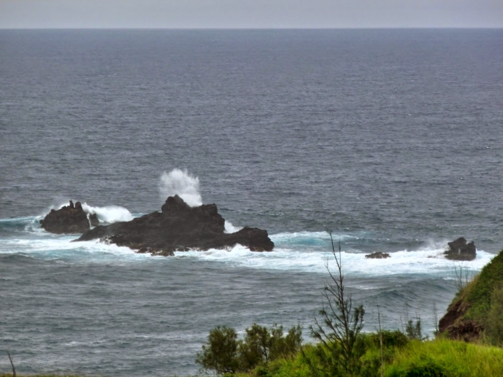
Waves crash against the offshore rocks east of Honokohau Bay

Honoapiilani Highway above Honokohau Bay

Driftwood dots the crescent beach of Honokohau Bay

The rugged coast east of Honokohau Bay

Nakalele Blowhole

Nakalele Blowhole in action


Poelua Bay from Papanalahoa Point on the Ohai Trail

Nakalele Blowhole from Papanalahoa Point

Water drains off of the exposed shoreline rocks

A wave crashes over a small islet

Rugged West Maui coastline

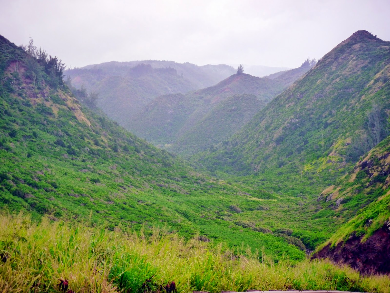
Awalau Gulch

Kahakuloa coast

636 foot high Kahakuloa Head

There is no website for the Honoapiilani Highway.