
Our fifth day of "slack packing" along the Appalachian Trail (AT) in Shenandoah National Park consisted of a 6.0 mile hike from Blackrock Gap to Doyles River Cabin. This was split into three very short segments. First was a short 1.8 mile hike with a 1.1 mile climb from Blackrock Gap to Blackrock Summit parking. The second segment was a 2.0 mile segment from Blackrock Summit parking to Browns Gap and the final segment of the day was a 2.2 mile jaunt from Browns Gap to Doyles River Cabin parking near Big Run Overlook on Skyline Drive.
The AT attacks the climb from Blackrock Gap to Blackrock Summit in a nearly straight run up the mountain on an average grade of over 11% for 1.3 miles. There are a couple of places along the hike where it would be possible to wander off-trail while thinking you were still on the trail. The first location is where the trail has been re-routed to include a short switchback and lessen the grade. However, brush has been piled up on the old trail to discourage its use. The second place that might be a bit confusing is about halfway up and marks a side trail to the east that leads to the Blackrock shelter and to the west a few yards to an old, disused road that parallels the trail. By reading the band on the junction post, it is obvious that the road is not part of the AT. When all else fails, look for the white blazes. Another signpost has been erected where the AT crosses the old road near the summit. The views of the Shenandoah Valley to the west from Blackrock are some of the best we've seen in the park. After nearly circling the summit, the trail gently descends 0.5 miles to the Blackrock Summit parking area on Skyline Drive.
 |
| Topographic map with GPS route |
 |
| Elevation profile |
 |
| Blackrock Gap parking is on the west side of Skyline Drive |
 |
| The trail begins climbing east of Skyline Drive |
 |
| Common Blue Violet (Viola sororia) |
 |
| A small summit is reached... |
 |
| ...before the trail descends and crosses to the west side of Skyline Drive |
 |
| After crossing the road, the climb resumes |
 |
| Still climbing |
 |
| The current trail veers left at this junction |
 |
| The re-routed trail climbs up the west side of the ridge |
 |
| Along the one switchback |
 |
| An old, disused road parallels the trail to the west |
 |
| No need to duck for most people |
 |
| A slight bend in the path |
 |
| Approaching another duck-under |
 |
| An easy step-over |
 |
| View to the east |
 |
| Downed trees litter the landscape |
 |
| The trail finally turns northwestward as it continues to climb |
 |
| One of the few rock outcrops on this segment |
 |
| A pine tree bears evidence of a fire |
 |
| Crossing the old road |
 |
| Continuing toward the summit |
 |
| Riprap marks the summit of Blackrock |
 |
| The trail circles just below the summit |
 |
| A jumble of rocks atop the summit |
 |
| View to the southwest |
 |
| Pea gravel makes for a smoother trail |
 |
| View to the west |
 |
| View to the north |
 |
| Dundo Hollow and the ridge beyond |
 |
| Back in the woods beginning the descent |
 |
| A signpost denotes the AT to the left and the road to the right |
 |
| Continuing the descent |
 |
| A much gentler grade on this side |
 |
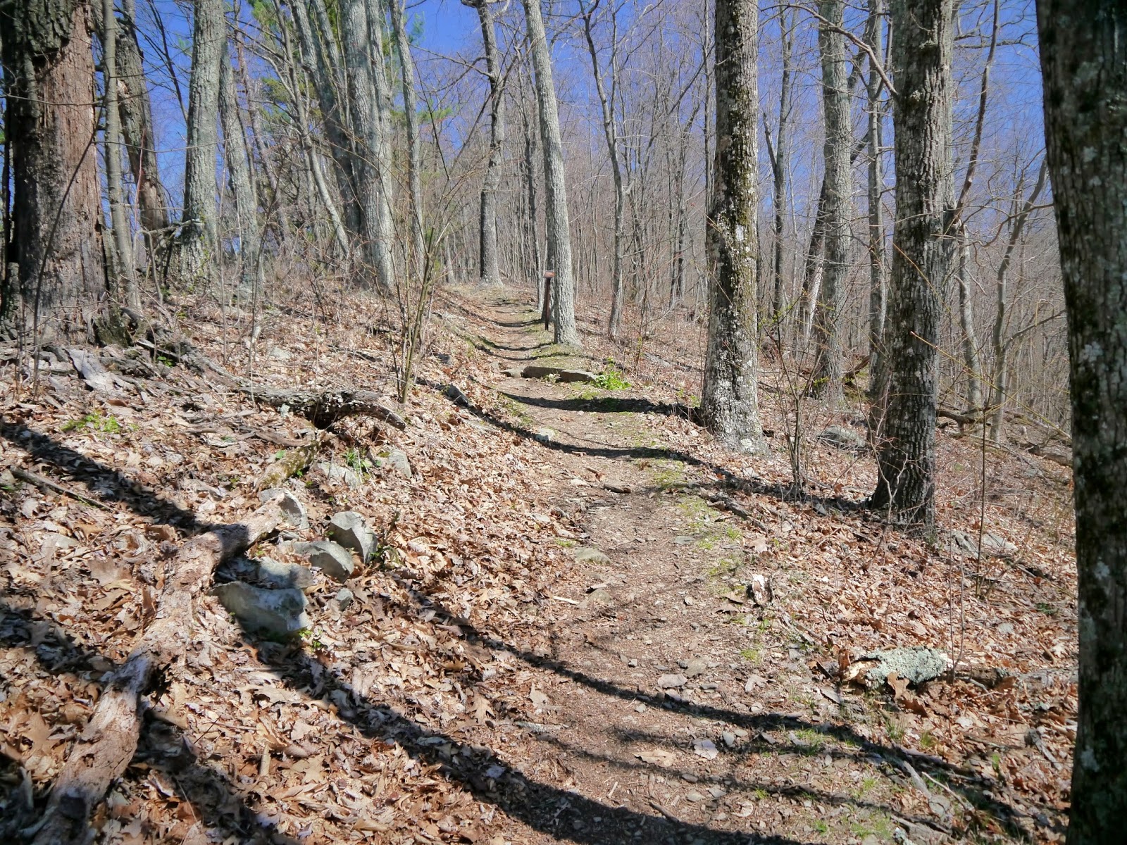
| Signpost marks the very short side trail... |
 |
| ...to the Blackrock Summit parking area |
A Shenandoah National Park entry fee of $20 per vehicle, $15 per motorcycle or $10 per person is valid for seven consecutive days. Other fee payment options include the America the Beautiful - National Parks and Federal Recreational Lands passes including the Annual Pass ($80), Senior Pass ($10 for lifetime), Access Pass (free with documented disability) and Military Annual Pass (free for active duty personnel).
The Shenandoah National Park website is https://www.nps.gov/shen/index.htm.
The Appalachian National Scenic Trail website is https://www.nps.gov/appa/index.htm.
The Appalachian Trail Conservancy website is http://www.appalachiantrail.org/.
No comments:
Post a Comment