
I continued my late November 2018 hike on the Alum Cave Trail from Arch Rock past Alum Cave and on to the halfway point at Gracie's Pulpit before returning to the trailhead on Newfound Gap Road.
Alum Cave is not an actual cave, but rather a concave bluff about 80 feet high and 500 feet long. It was the site of mining operations from 1838 to1854 by the Epsom Salts Manufacturing Company. During the Civil War, Confederate troops mined saltpeter for use in the manufacturing of gunpowder.
The Alum Cave Trail is a steep route with an average gradient of over 10% from the trailhead to Gracie's Pulpit. It has numerous stairs and steep dropoffs in some places. A couple of stream crossings require rock hopping, but most have a log footbridge. Several crossings near the trailhead have planked bridges wide enough to meet other hikers. Portions of the trail were rebuilt during 2015 and 2016 by a Trails Forever crew.
Part 1 covering the trail from the trailhead to Arch Rock can be found here. |
| Topographic map with GPS route |
 |
| Elevation profile |
 |
| Looking back at Arch Rock |
 |
| More stairs on the rebuilt trail |
 |
| Switchback crossing of Styx Branch |
 |
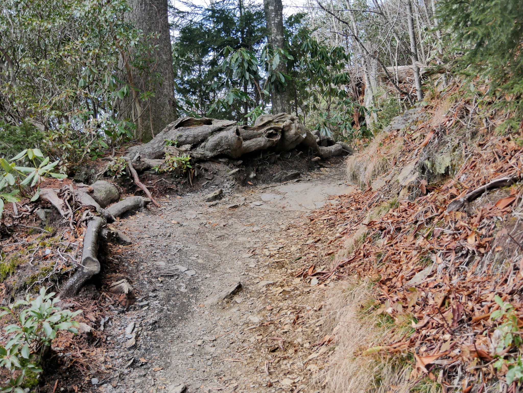
| Rhododendron takes over the forest |
 |
| The trail continues to climb higher |
 |
| Another switchback at a stream crossing |
 |
| Anskeesta Ridge (5582' 1 mile) |
 |
| Passing through a heath bald |
 |
| Looking northeast at the ridgeline roller coaster of The Boulevard |
 |
| The trail cut out of stone at Inspiration Point |
 |
| Mount Mingus (5802' 1.6 mile)) |
 |
| Little Duck Hawk Ridge |
 |
| More of the heath bald |
 |
| A closer view of Little Duck Hawk Ridge |
 |
| More trail cut out of solid rock |
 |
| Approaching Alum Cave Bluffs |
 |
| More stairs along the bluff |
 |
| Alum Cave |
 |
| More stairs to reach Alum Cave |
 |
| View from Alum Cave |
 |
| Continuing on uphill |
 |
| Looking back at Alum Cave |
 |
| Very open forest in this rocky terrain |
 |
| Rounding the point below the bluffs on Peregrine Peak |
 |
| The steel cable helps in traversing this wet rocky section of trail |
 |
| Another view of Anakeesta Ridge |
 |
| Stairs cut into the rock |
 |
| Sweet Ridge (5485 2.8 mile part of Sugarland Mountain) |
 |
| Rounding another corner under Peregrine Peak |
 |
| More cable handholds |
 |
| A whole staircase carved out of the mountain |
 |
| Chimney Tops |
 |
| Mount Le Conte |
 |
| Trail conditions and forest are completely different on the north side of Peregrine Peak |
 |
| High Top (6593') |
 |
| Moss covers the mountainside |
 |
| Cliff Top (6555') |
 |
| Approaching Gracie's Pulpit |
 |
| A closer view of Gracie's Pulpit |
 |
| Looking back at Gracie's Pulpit |
 |
| One final view from Alum Cave |
Entrance to Great Smoky Mountains National Park is free.
The park website is https://www.nps.gov/grsm/index.htm.
No comments:
Post a Comment