Showing posts with label State Forest. Show all posts

Thursday, December 21, 2017

TBT: Mount Roosevelt Scenic Overlook


Mount Roosevelt is a peak on Walden Ridge west of Rockwood, Tennessee. Part of the Cumberland Escarpment, the mountain reaches a height of 2036 feet, more than 1100 feet above the town. On a clear day, the Smoky Mountains can be seen over 70 miles to the east.

To reach the scenic viewpoint on the mountain from Interstate 40, take exit 338 and head south on Westel Road marked as TN 299 for 2.8 miles. Turn left onto US 70 and head east for 1.2 miles. Veer left onto Fire Tower Road and drive 1.5 miles to the overlook. Parking is available for about half a dozen vehicles. Picnic tables are available for use during daylight hours. There are no restroom facilities on site. The former fire tower is closed to public use and was missing several stair treads when we visited in November 2011.

Looking northeast toward Harriman

Rockwood

Cirrus clouds over Watts Bar Lake

Looking east toward the Great Smoky Mountains

A closer view of Watts Bar Lake

Twin stacks of TVA's Kingston fossil plant

Quickly fading fall foilage

Access to the scenic overlook is free.

There is no website for this location.

Thursday, September 7, 2017

Mississippi Headwaters State Forest


We crossed the Mississippi River near Bemidji, Minnesota on Beltrami County Road 7 at a location named Iron Bridge for the previous bridge that spanned the stream until its removal in 1984. The current bridge was built in 1980. The road passes through the Mississippi Headwaters State Forest for several miles. The forest is considered one of the most pristine areas along the entire river. It is 1300.6 river miles from here to the mouth of the Ohio River at Cairo, Illinois and 41.3 river miles upstream to the headwaters at Lake Itasca.

The fire hydrant sign is posted to signify a snorkel is attached to the bridge so fire pumper-trucks can quickly refill directly from the river. We passed through the state forest in early August 2017.

View upstream

Mississippi River bridge

Main channel looking downstream

A river of grass in Minnesota

Entry to the forest is free.

The forest website is http://www.dnr.state.mn.us/state_forests/sft00034/index.html.

Monday, July 17, 2017

Bridal Veil Falls - DuPont State Recreational Forest


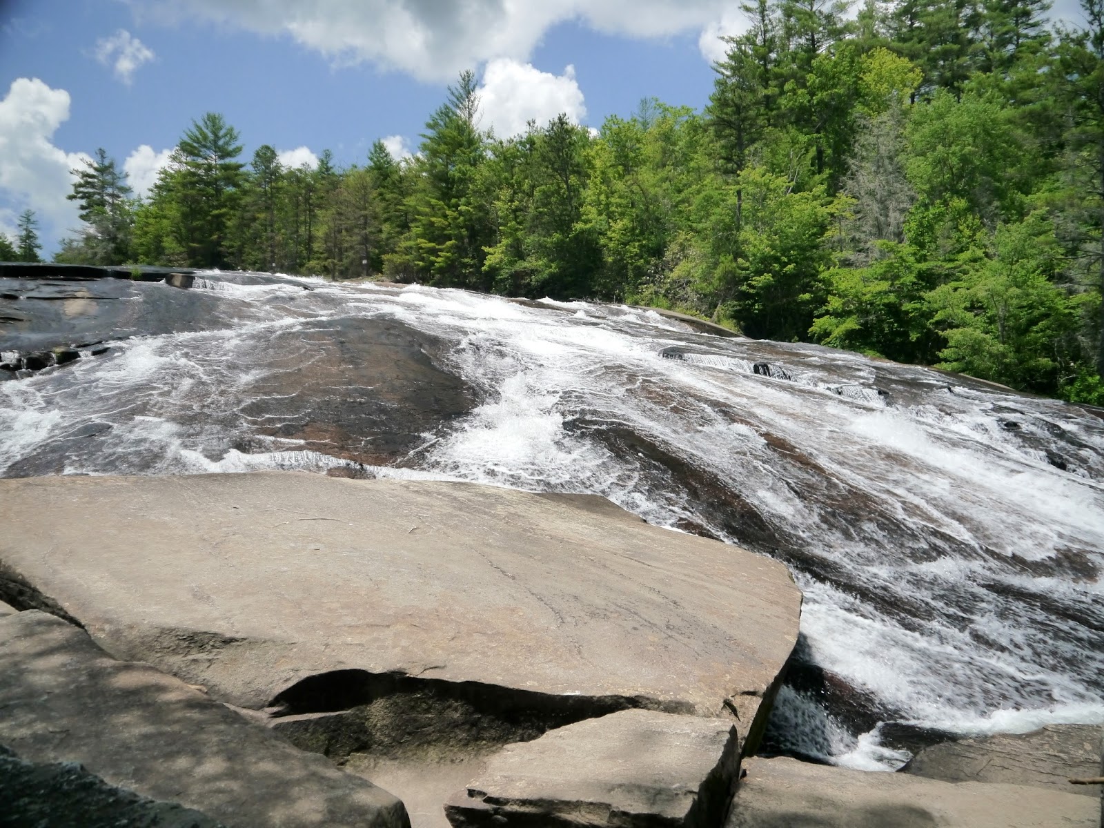
Bridal Veil Falls on the Little River in the DuPont State Recreational Forest of North Carolina is more of a slide than a prototypical waterfall. The river drops about 120 feet over an 800 foot run across a large slab of rock. This is the uppermost of the four named waterfalls on the Little River. Layers of the rock slab have broken off and slid to the base of the falls. This allows the river to flow under the unattached rocks and seemingly disappear for a short distance.

A visit to the waterfall requires either a 4.2 mile round trip hike from the Fawn Lake parking lot on Reasonover Road. The parking area is 2.8 miles east of the end of Reasonover Road at Cascade Lake Road in the community of Cedar Mountain, North Carolina. This hike descends over 200 feet from the parking area to the falls.

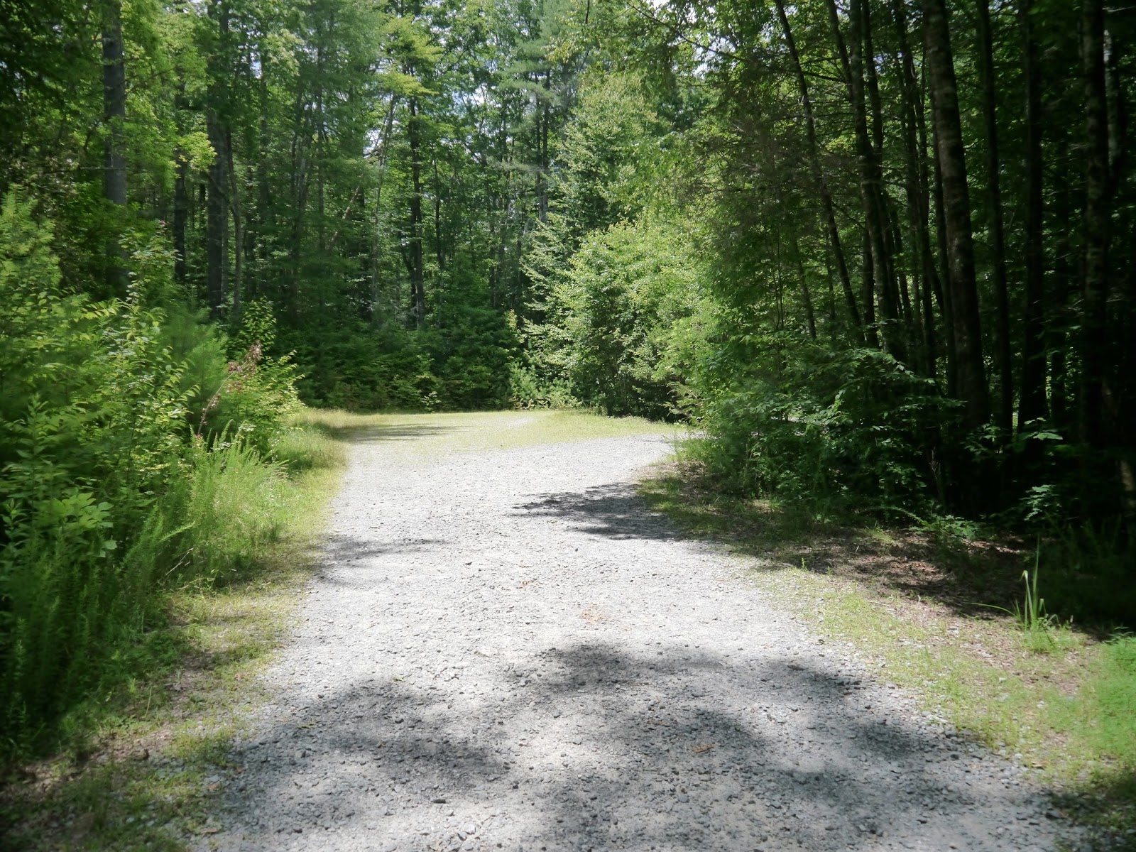
The second route to reach the falls is a 4.6 mile round trip hike from the Visitor Center on Staton Road. While there are hills along this route, the net elevation change is negligible and the biggest hill is only 60 feet high. The route follows a series of signed gravel roads in the forest before an 800 foot long trail leads to the base of the falls. From the visitor center parking area, hike east 0.6 miles on Buck Forest Road. Along the way, use the walk around at the electric gate, climb and descend the "big" hill and cross Little River on the covered bridge. After 0.6 miles, turn right on Conservation Road and hike 1.1 miles passing over the Lake Julia Spillway in about ½ mile. Ignore the first unsigned road to the right about one mile along Conservation Road (1.55 miles from the visitor center). At 1.1 miles (1.7 miles from the visitor center), turn right onto the signed Bridal Veil Falls Road. Hike ½ mile to the end of the road and find the trail at the middle of the turnaround. Follow the trail to the falls. I hiked to Bridal Veil Falls in July 2017.

Topographic map with GPS route

Exaggerated elevation profile

Gate across Buck Forest Road

Upper end of Triple Falls Trail

Covered bridge over Little River

Little River at the brink of High Falls

Intersection of Buck Forest and Conservation roads

Second bridge on the route

Julia Dam spillway

Reconstructed creekbed

The unsigned road

Field of wildflowers

Bridal Veil Falls Road

A much narrower lane

Paddock

Picnic tables and barn near the paddock

End of Bridal Veil Falls Road

Picnic table at the turnaround

Trailhead

Trail surface is gravel

Overlook

Obstructed view from the overlook

Switchback to descend toward base of the falls

Bike rack

Rock hop required to get to the falls

Rocks and roots at the base

Bridal Veil Falls

A closer view


Entry to DuPont State Recreational Forest is free.

The friends of the forest website is http://www.dupontforest.com/.
The forest website is http://www.ncforestservice.gov/Contacts/dsf.htm.

Sunday, July 16, 2017

Aleen Steinberg Center - DuPont State Recreational Forest


The Aleen Steinberg Center opened in 2013 as an educational and visitor center. It contains an information desk, a diorama of the forest, and various displays related to early settlement, the DuPont operation, black bears, and forestry. An adjacent building houses restrooms with running water. The volunteers staffing the facility were friendly and knowledgeable. Group educational spaces are located on the lower level. Even though there is a large gravel parking area, visitors often have to circle around to find a vacant spot on busy summer days.

The center is located at the intersection of Staton Road and Buck Forest Road. To reach the center from US 276 in Cedar Mountain, NC drive north on Cascade Lake Road for 2.5 miles. Turn right onto Staton Road and drive 1.4 miles to the forest entrance at Buck Forest Road on the right. Turn right and head up the hill on the one-way gravel road to loop around to the far end of the parking area. The center is also 0.9 miles south of the Hooker Falls parking lot on Staton Road. I visited in July 2017.

Forest entrance

End of the parking lot looking back at the entrance

Aleen Steinberg Center

Information desk

Daily updates and bear safety video

Forest diorama

Managing multiple uses
 
DuPont operations

Early history

Another view of the center

Restrooms

Entry to DuPont State Recreational Forest is free.

The friends of the forest website is http://www.dupontforest.com/.
The forest website is http://www.ncforestservice.gov/Contacts/dsf.htm.