
Bridal Veil Falls on the Little River in the DuPont State Recreational Forest of North Carolina is more of a slide than a prototypical waterfall. The river drops about 120 feet over an 800 foot run across a large slab of rock. This is the uppermost of the four named waterfalls on the Little River. Layers of the rock slab have broken off and slid to the base of the falls. This allows the river to flow under the unattached rocks and seemingly disappear for a short distance.
A visit to the waterfall requires either a 4.2 mile round trip hike from the Fawn Lake parking lot on Reasonover Road. The parking area is 2.8 miles east of the end of Reasonover Road at Cascade Lake Road in the community of Cedar Mountain, North Carolina. This hike descends over 200 feet from the parking area to the falls.
The second route to reach the falls is a 4.6 mile round trip hike from the Visitor Center on Staton Road. While there are hills along this route, the net elevation change is negligible and the biggest hill is only 60 feet high. The route follows a series of signed gravel roads in the forest before an 800 foot long trail leads to the base of the falls. From the visitor center parking area, hike east 0.6 miles on Buck Forest Road. Along the way, use the walk around at the electric gate, climb and descend the "big" hill and cross Little River on the covered bridge. After 0.6 miles, turn right on Conservation Road and hike 1.1 miles passing over the Lake Julia Spillway in about ½ mile. Ignore the first unsigned road to the right about one mile along Conservation Road (1.55 miles from the visitor center). At 1.1 miles (1.7 miles from the visitor center), turn right onto the signed Bridal Veil Falls Road. Hike ½ mile to the end of the road and find the trail at the middle of the turnaround. Follow the trail to the falls. I hiked to Bridal Veil Falls in July 2017.
 |
| Topographic map with GPS route |
 |
| Exaggerated elevation profile |
 |
| Gate across Buck Forest Road |
 |
| Upper end of Triple Falls Trail |
 |
| Covered bridge over Little River |
 |
| Little River at the brink of High Falls |
 |
| Intersection of Buck Forest and Conservation roads |
 |
| Second bridge on the route |
 |
| Julia Dam spillway |
 |
| Reconstructed creekbed |
 |
| The unsigned road |
 |
| Field of wildflowers |
 |
| Bridal Veil Falls Road |
 |
| A much narrower lane |
 |
| Paddock |
 |
| Picnic tables and barn near the paddock |
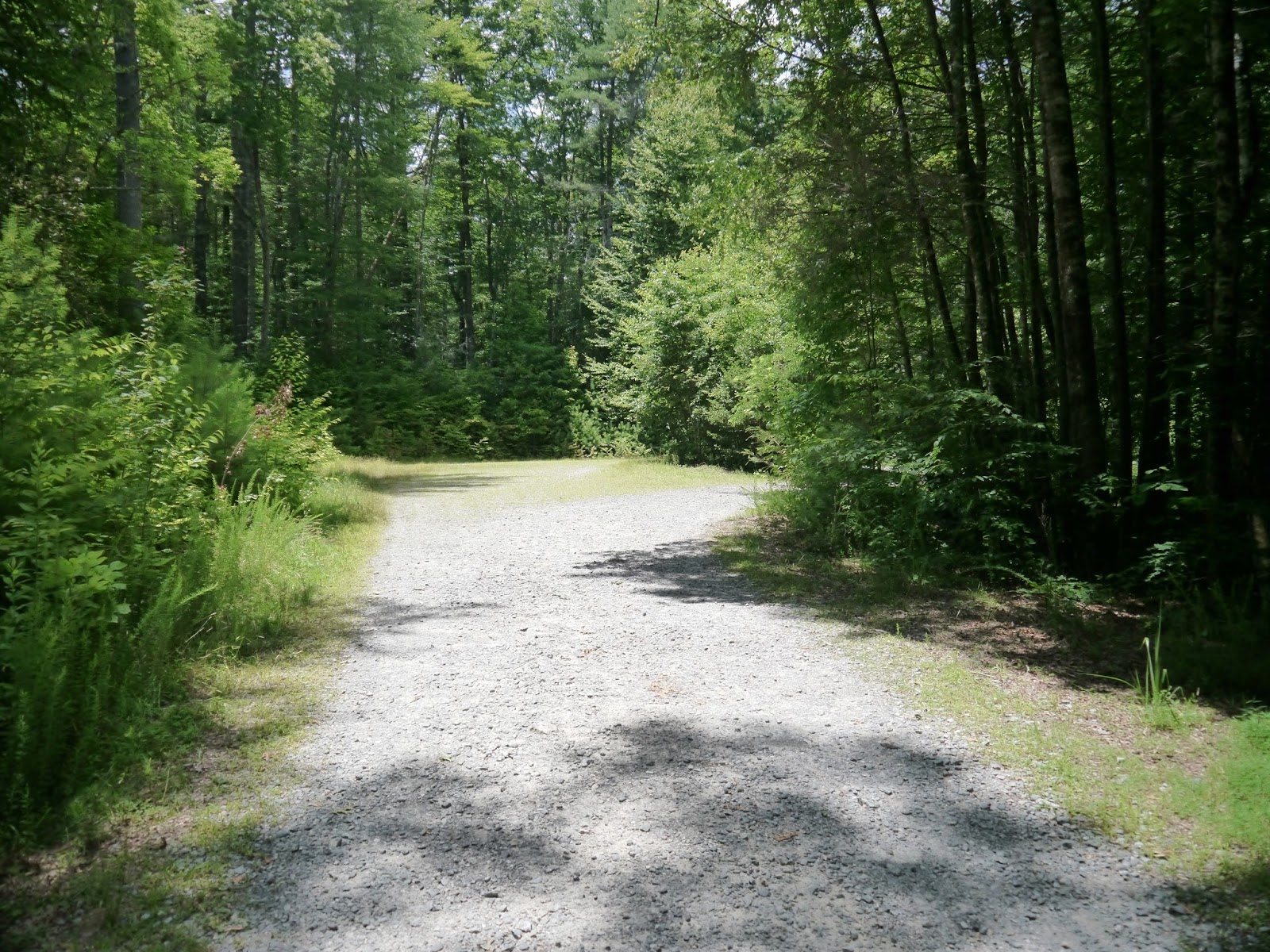 |
| End of Bridal Veil Falls Road |
 |
| Picnic table at the turnaround |
 |
| Trailhead |
 |
| Trail surface is gravel |
 |
| Overlook |
 |
| Obstructed view from the overlook |
 |
| Switchback to descend toward base of the falls |
 |
| Bike rack |
 |
| Rock hop required to get to the falls |
 |
| Rocks and roots at the base |
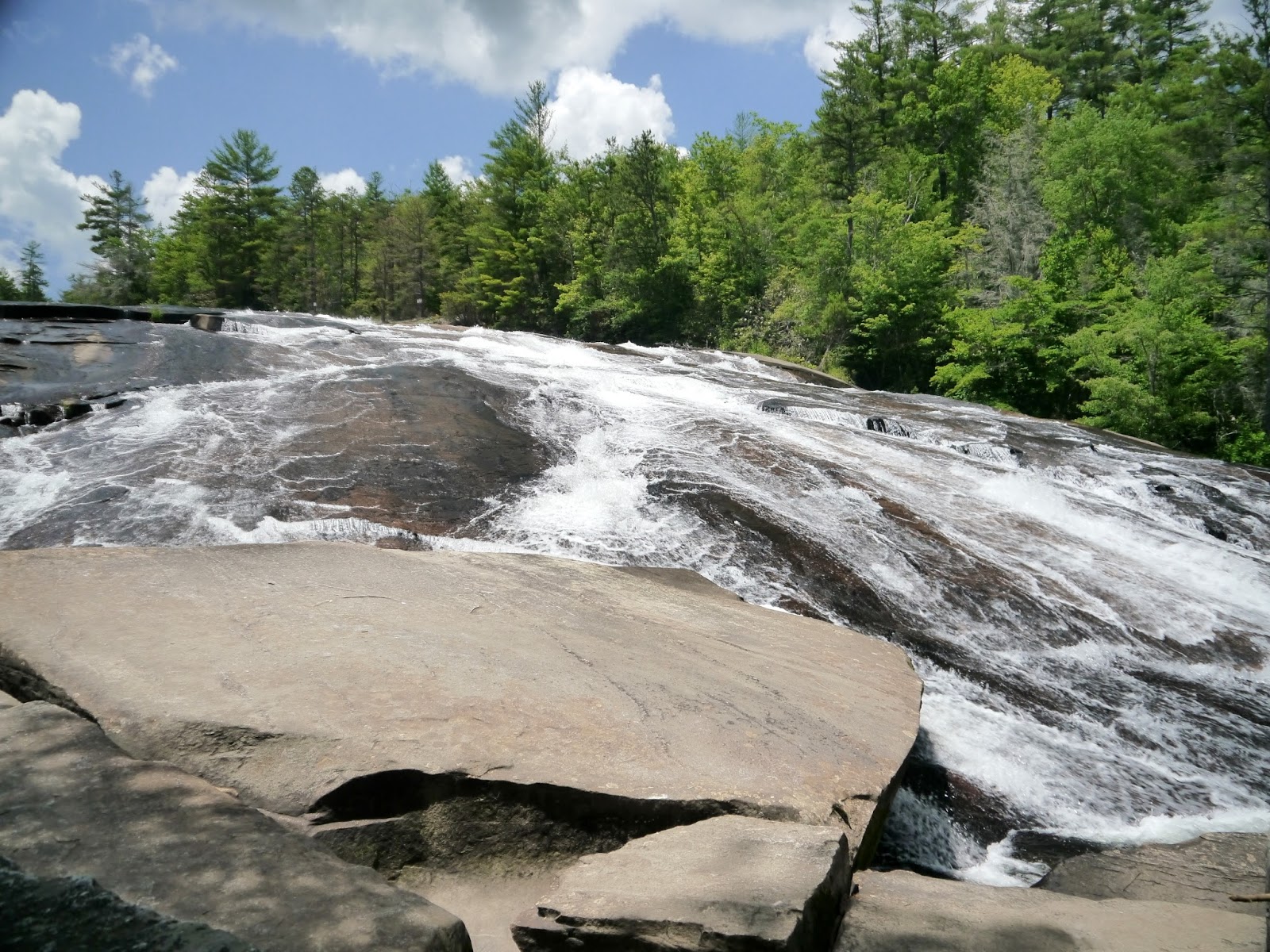 |
| Bridal Veil Falls |
 |
| A closer view |
Entry to DuPont State Recreational Forest is free.
The friends of the forest website is http://www.dupontforest.com/.
The forest website is http://www.ncforestservice.gov/Contacts/dsf.htm.
No comments:
Post a Comment