Our May 2015 trip to the Southwest continued with a drive from Tucson to Flagstaff, Arizona. We made a slight detour through Sedona and the Red Rock Ranger District of the Cocnino National Forest. Our scenic detour began at exit 298 on Interstate 17. We turned north on Arizona 179 and drove about 6 miles to the Red Rock Ranger District Visitor Contact Center.
Visitor Center
The visitor center is located just off of Highway 179. The visitor center contains the usual information desk, bookstore/giftshop, exhibits, restrooms and theater. The theater shows an excellent 14 minute orientation video
Scenes of Red Rock Country. In addition, the front entrance area provided wonderful views of the area we would soon travel through.
 |
| A portion of the information desk |
 |
| Rock climbing and geology exhibits |
 |
| Three-dimensional map of the forest |
 |
| Rock layer display |
 |
| There are also displays in the theater |
 |
| Courthouse Butte (5451') |
 |
| An unnamed mesa |
 |
| Castle Rock (5248') and Bell Rock (4919') |
Red Rock Vista
Located 2.5 miles north of the visitor center, the Red Rock Vista is located just north of the Village of Oak Creek. The Bell Rock Trail begins here. There is a large parking area
 |
| Bell Rock |
 |
| Courthouse Butte |
 |
| An unnamed formation west of the highway |
 |
| Lee Mountain and Jacks Canyon |
Little Horse Trailhead
Another 2.6 miles north of Red Rock Vista is Little Horse Trailhead. This is the last trailhead before entering Sedona.
 |
| Cathedral Rock |
 |
| Courthouse Butte |
 |
| West Lee Mountain |
 |
| One of the Twin Buttes |
US 89A Pullout
Arizona Highway 179 ends at its intersection with Arizona Highway 89A in Sedona. To continue to Flagstaff by way of Oak Creek Canyon, take the first exit off the roundabout onto Highway 89A north. A paved extremely wide shoulder is located 1.4 miles north of the roundabout.
 |
| Mitten Ridge |
 |
| Highway 89A bridge over Wilson Canyon |
 |
| Looking back at Mitten Ridge, Cathedral Rock and Sedona |
Oak Creek Vista Point
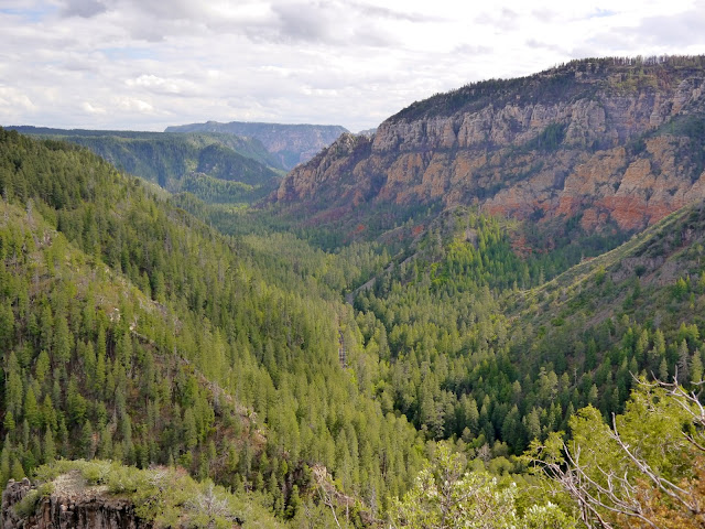
Highway 89A follows Oak Creek Canyon for 13½ miles before climbing out of the canyon on a series of switchbacks. Vehicles over 50 feet are prohibited on the highway. At the top of the canyon is a vista point with a large parking area, vault toilets and an information booth. The vista is located about 16 miles from the roundabout intersection with Arizona Highway 179 in Sedona. During that 16 miles, the road climbs 2200 feet and traverses a transition from the Sonoran Desert to an alpine climate.
 |
| Pumphouse Wash |
 |
| Oak Creek Canyon |
 |
| Switchbacks on Highway 89A |
 |
| Looking down into Pumphouse Wash |
 |
| The rim above Pumphouse Wash |
While it isn't required for short stops to take pictures, a Red Rock Pass (or America The Beautiful Interagency series Annual Pass [$80], Senior Pass [one-time $10 for ages 62 and over], or Military Annual Pass [free to active duty military personnel]) is required when leaving your vehicle unattended while recreating on National Forest land around Sedona and Oak Creek Canyon. A one day Red Rock Pass is $5, a seven day Red Rock Pass is $15 and an annual Red Rock Pass is $20.
The Sedona Friends of the Forest sponsors a website at
http://www.sedonaredrocktrails.com/ in support of the Red Rock Ranger District of the Coconino National Forest.
The forest website is
http://www.fs.usda.gov/main/coconino/home.


No comments:
Post a Comment